Transport Functions
Rail
Road
Hub Profile
Place type
District seat
Region
West Pomerania
Population
3,266
Time zone
Europe/Warsaw
Elevation
72 m
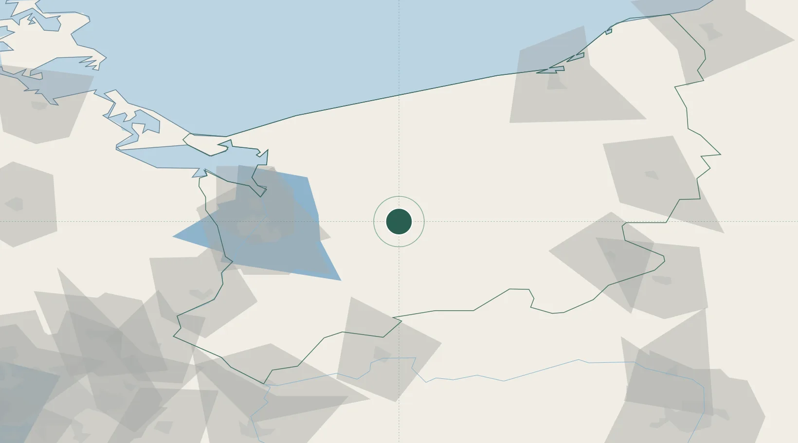
Location
Nearby Logistics Neighbours
Cities
- 1Insko14 km
- 2Wegorzyno16 km
- 3Nowogard25 km
- 4Stargard26 km
- 5Drawsko Pomorskie32 km
Ports
- 1Police52 km
- 2Szczecin52 km
- 3Kolobrzeg85 km
- 4Swinoujscie86 km
- 5Wolgast121 km
Airports
Trade Zones
- 1Szczecin Duty Free Zone51 km
- 2Swinoujscie Duty Free Zone85 km
- 3Kostrzyń-Słubice SEZ107 km
- 4Słupsk SEZ (Słupska SSE)157 km
- 5Legnica SEZ (Legnicka SSE)247 km
DatabookThe Record of Consolidated Knowledge
Poland beyond logistics?