Transport Functions
Rail
Road
Hub Profile
Place type
District seat
Region
West Pomerania
Population
520
Time zone
Europe/Warsaw
Elevation
39 m
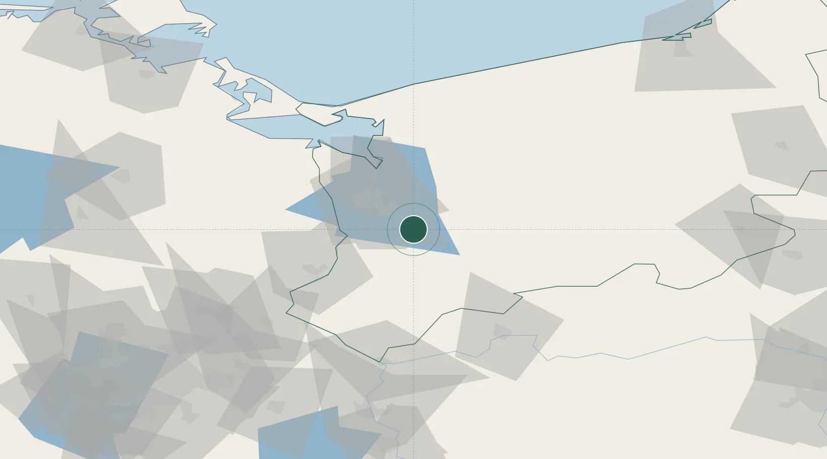
Location
Nearby Logistics Neighbours
Cities
- 1Gardno11 km
- 2Stargard17 km
- 3Pyrzyce18 km
- 4Kliniska Wielkie20 km
- 5Szczecin21 km
Ports
- 1Szczecin21 km
- 2Police35 km
- 3Swinoujscie78 km
- 4Wolgast108 km
- 5Kolobrzeg115 km
Airports
Trade Zones
- 1Szczecin Duty Free Zone21 km
- 2Swinoujscie Duty Free Zone76 km
- 3Kostrzyń-Słubice SEZ77 km
- 4Słupsk SEZ (Słupska SSE)197 km
- 5Legnica SEZ (Legnicka SSE)236 km
DatabookThe Record of Consolidated Knowledge
Poland beyond logistics?