Transport Functions
Rail
Road
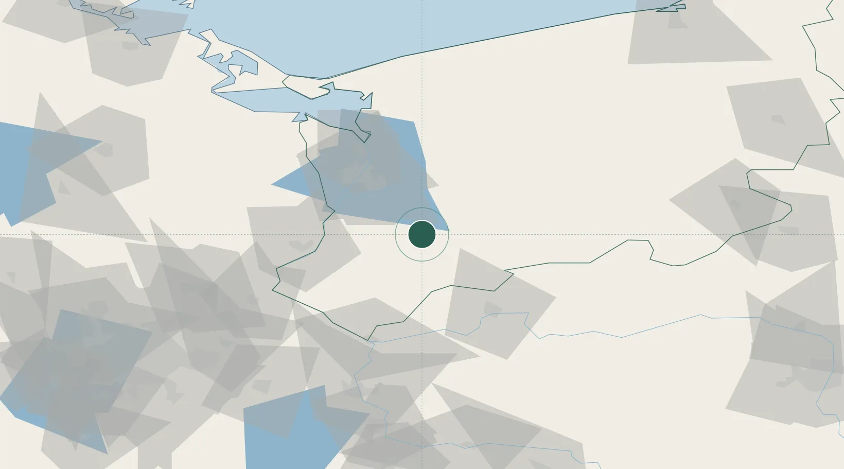
Hub Profile
Place type
Provincial seat
Region
West Pomerania
Population
12,893
Time zone
Europe/Warsaw
Elevation
39 m
Location
Nearby Logistics Neighbours
Cities
- 1Lipiany16 km
- 2Stare Czarnowo18 km
- 3Gardno21 km
- 4Stargard24 km
- 5Mysliborz24 km
Ports
- 1Szczecin39 km
- 2Police53 km
- 3Swinoujscie96 km
- 4Wolgast125 km
- 5Kolobrzeg128 km
Airports
Trade Zones
- 1Szczecin Duty Free Zone38 km
- 2Kostrzyń-Słubice SEZ62 km
- 3Swinoujscie Duty Free Zone94 km
- 4Słupsk SEZ (Słupska SSE)204 km
- 5Legnica SEZ (Legnicka SSE)218 km
DatabookThe Record of Consolidated Knowledge
Poland beyond logistics?