UN/LOCODE hub · Poland
PLSPY

Spiczyn

51.3500°, 22.7667°
697
Population
2
Transport functions

Transport Functions

Road
Multimodal
UN/LOCODE

Hub Profile

Place type
District seat
GeoNames
Region
Lublin
GeoNames
Population
697
GeoNames
Time zone
Europe/Warsaw
GeoNames
Elevation
166 m
GeoNames

Location

Location of PLSPY
Natural Earth 10m (public domain) · Lublin · PLSPY · 51.35, 22.77GoogleOSMYandex

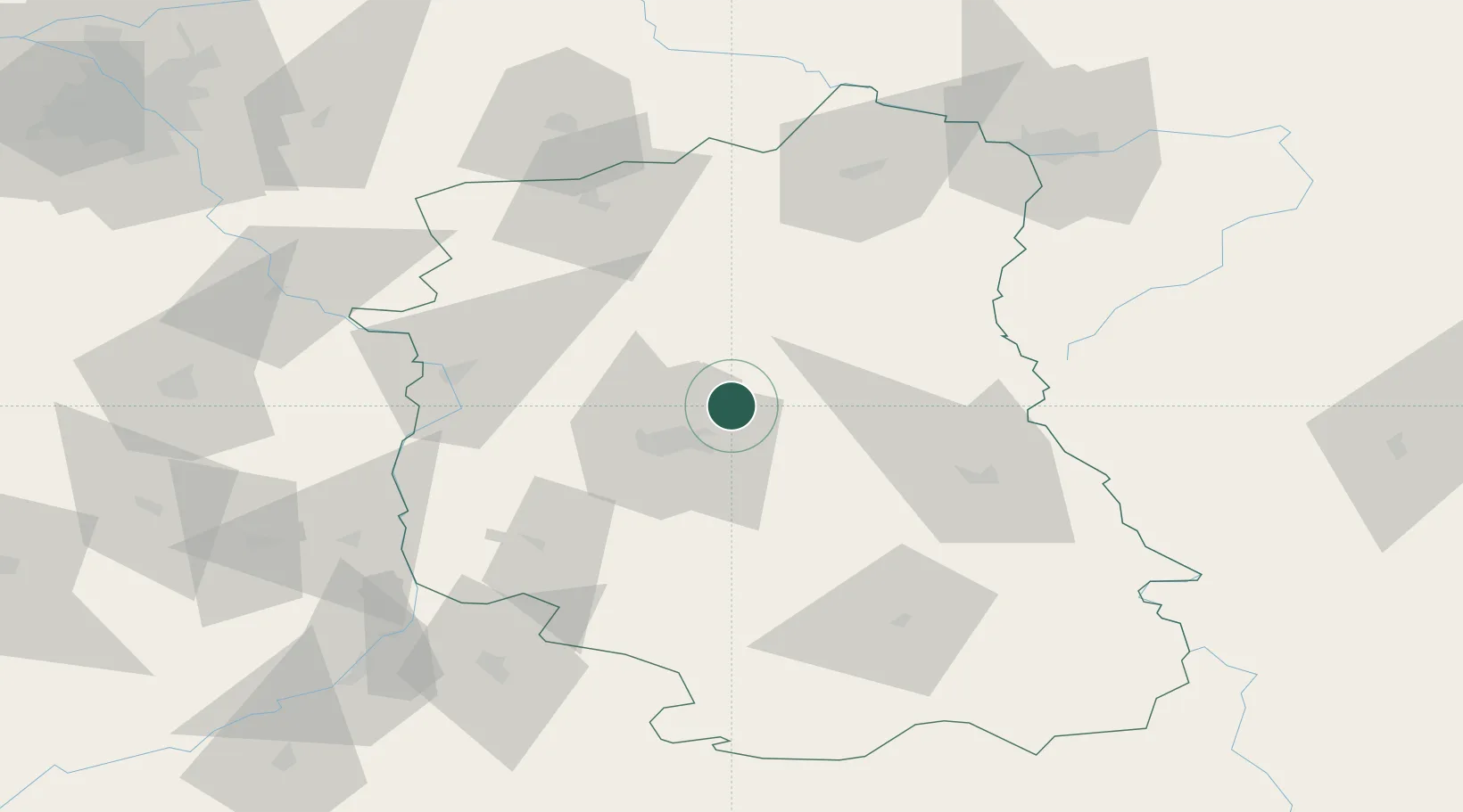
Nearby Logistics Neighbours

Cities
  1. 1Jacków15 km
  2. 2Swidnik17 km
  3. 3Motycz28 km
  4. 4Wawolnica44 km
  5. 5Konskowola50 km
Nearest neighbours — logibook spatial index (haversine) over the source coordinates
Ports
  1. 1Kaliningrad403 km
  2. 2Baltiysk412 km
  3. 3Gdansk432 km
  4. 4Nowy Port438 km
  5. 5Gdynia453 km
Nearest neighbours — logibook spatial index (haversine) over the source coordinates
Airports
  1. 1Lublin Airport13 km
  2. 2Deblin Military Air Base65 km
  3. 3Warsaw Radom Airport108 km
  4. 4Brest International Airport115 km
  5. 5Minsk Mazowiecki Military Air Base121 km
Nearest neighbours — logibook spatial index (haversine) over the source coordinates
Trade Zones
  1. 1Lublin Subzone (of Euro-Park Mielec)28 km
  2. 2Free Customs Area in Małaszewicze92 km
  3. 3Free Economic Zone Brest106 km
  4. 4Special Economic Zone Interport Kovel117 km
  5. 5Tarnobrzeg SEZ Euro-Park Wisłosan (Tarnobrzeska SSE)120 km
Nearest neighbours — logibook spatial index (haversine) over the source coordinates
DatabookThe Record of Consolidated Knowledge
Poland beyond logistics?
Browse databook

All Sources

LocationsUN/LOCODE
UN/LOCODE — free
LocationsGeoNames
CC BY 4.0
Portsthe NGA World Port Index
Public domain (US gov)
AirportsOurAirports
Public domain
Trade Zonesthe World Bank SEZ database
CC BY 4.0
Trade ZonesOpen Zone Map
CC BY
← Poland locations