Transport Functions
Rail
Road
Hub Profile
Place type
Populated place
Region
Łódź Voivodeship
Time zone
Europe/Warsaw
Elevation
224 m
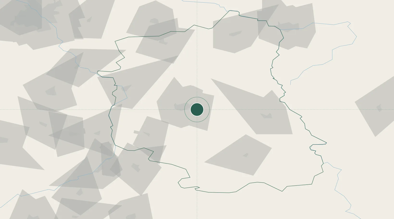
Location
Nearby Logistics Neighbours
Ports
- 1Kaliningrad416 km
- 2Baltiysk425 km
- 3Gdansk443 km
- 4Nowy Port449 km
- 5Gdynia463 km
Airports
- 1Lublin Airport3 km
- 2Deblin Military Air Base69 km
- 3Warsaw Radom Airport107 km
- 4Brest International Airport128 km
- 5Minsk Mazowiecki Military Air Base132 km
DatabookThe Record of Consolidated Knowledge
Poland beyond logistics?