Transport Functions
Rail
Road
Hub Profile
Place type
District seat
Region
Lublin
Population
1,041
Time zone
Europe/Warsaw
Elevation
159 m
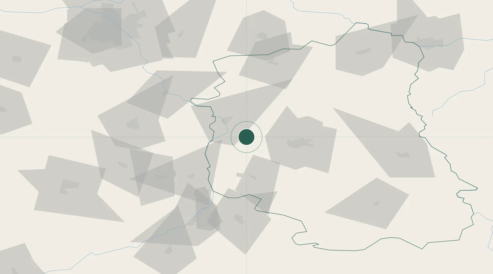
Location
Nearby Logistics Neighbours
Cities
- 1Konskowola14 km
- 2Pulawy17 km
- 3Janowiec18 km
- 4Motycz19 km
- 5Hutton36 km
Ports
- 1Kaliningrad394 km
- 2Baltiysk400 km
- 3Gdansk411 km
- 4Nowy Port417 km
- 5Gdynia432 km
Airports
- 1Deblin Military Air Base33 km
- 2Lublin Airport41 km
- 3Warsaw Radom Airport65 km
- 4Minsk Mazowiecki Military Air Base105 km
- 5Warsaw Chopin Airport125 km
Trade Zones
DatabookThe Record of Consolidated Knowledge
Poland beyond logistics?