Transport Functions
Multimodal
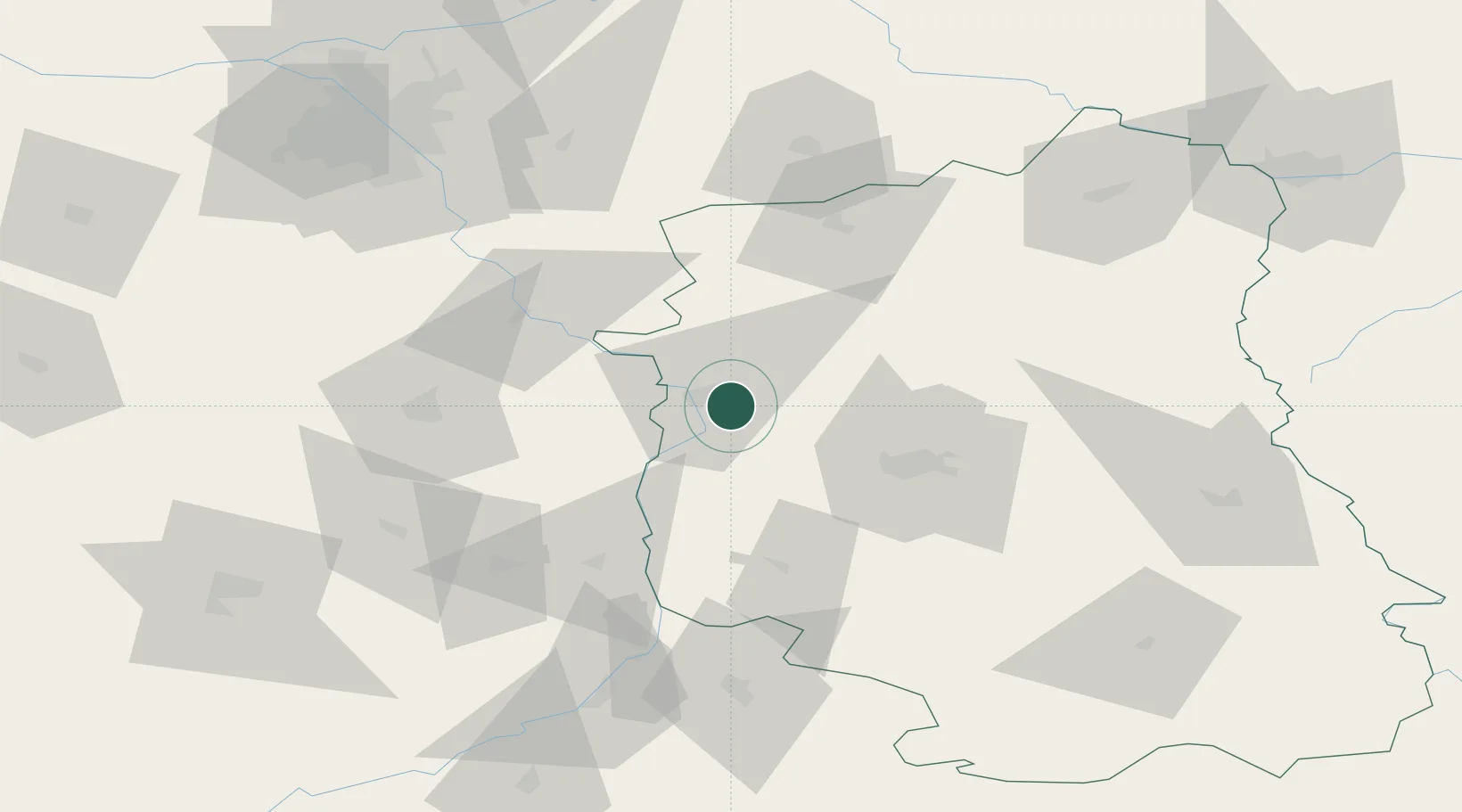
Hub Profile
Place type
District seat
Region
Lublin
Population
2,208
Time zone
Europe/Warsaw
Elevation
139 m
Location
Nearby Logistics Neighbours
Ports
- 1Kaliningrad380 km
- 2Baltiysk386 km
- 3Gdansk397 km
- 4Nowy Port403 km
- 5Gdynia418 km
Airports
- 1Deblin Military Air Base19 km
- 2Lublin Airport50 km
- 3Warsaw Radom Airport58 km
- 4Minsk Mazowiecki Military Air Base91 km
- 5Warsaw Chopin Airport112 km
DatabookThe Record of Consolidated Knowledge
Poland beyond logistics?