Transport Functions
Road
Multimodal
Hub Profile
Place type
District seat
Region
Łódź Voivodeship
Population
1,500
Time zone
Europe/Warsaw
Elevation
207 m
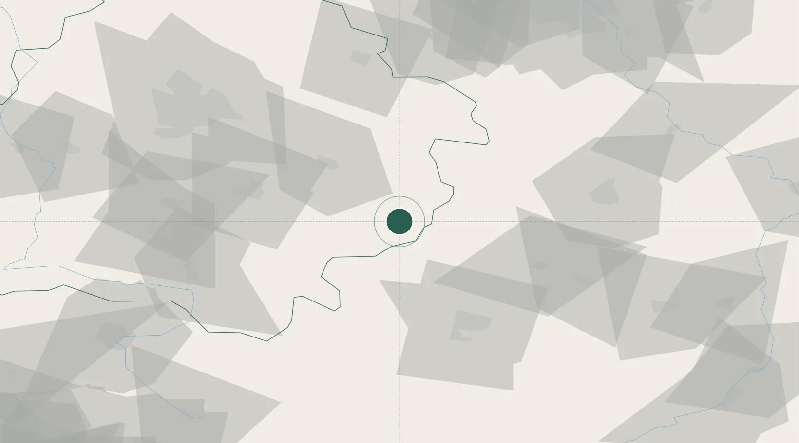
Location
Nearby Logistics Neighbours
Cities
- 1Sulejów30 km
- 2Zawonia35 km
- 3Wolbórz39 km
- 4Brzostek Policzko39 km
- 5Piotrków Trybunalski44 km
Ports
- 1Gdansk356 km
- 2Nowy Port364 km
- 3Baltiysk372 km
- 4Gdynia378 km
- 5Kaliningrad378 km
Airports
- 1Tomaszów Mazowiecki Military Air Base35 km
- 2Warsaw Radom Airport64 km
- 3Łódź Władysław Reymont Airport78 km
- 4Łask Air Base83 km
- 5Warsaw Chopin Airport107 km
Trade Zones
DatabookThe Record of Consolidated Knowledge
Poland beyond logistics?