Transport Functions
Rail
Road
Hub Profile
Place type
Provincial seat
Region
Lublin
Population
35,834
Time zone
Europe/Warsaw
Elevation
199 m
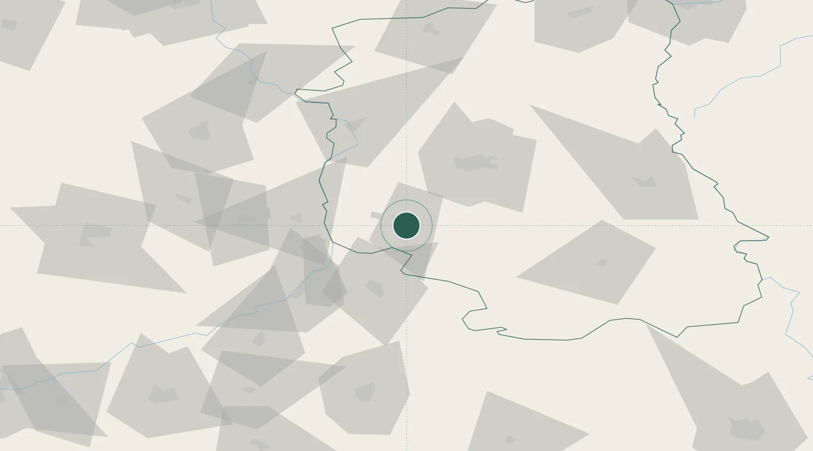
Location
Nearby Logistics Neighbours
Cities
- 1Modliborzyce20 km
- 2Dwikozy38 km
- 3Motycz39 km
- 4Pisary40 km
- 5Wawolnica43 km
Ports
- 1Kaliningrad437 km
- 2Baltiysk442 km
- 3Gdansk451 km
- 4Nowy Port457 km
- 5Gdynia472 km
Airports
- 1Lublin Airport49 km
- 2Deblin Military Air Base74 km
- 3Warsaw Radom Airport88 km
- 4Rzeszów-Jasionka Airport91 km
- 5Minsk Mazowiecki Military Air Base148 km
Trade Zones
DatabookThe Record of Consolidated Knowledge
Poland beyond logistics?