Transport Functions
Port
Rail
Road
Hub Profile
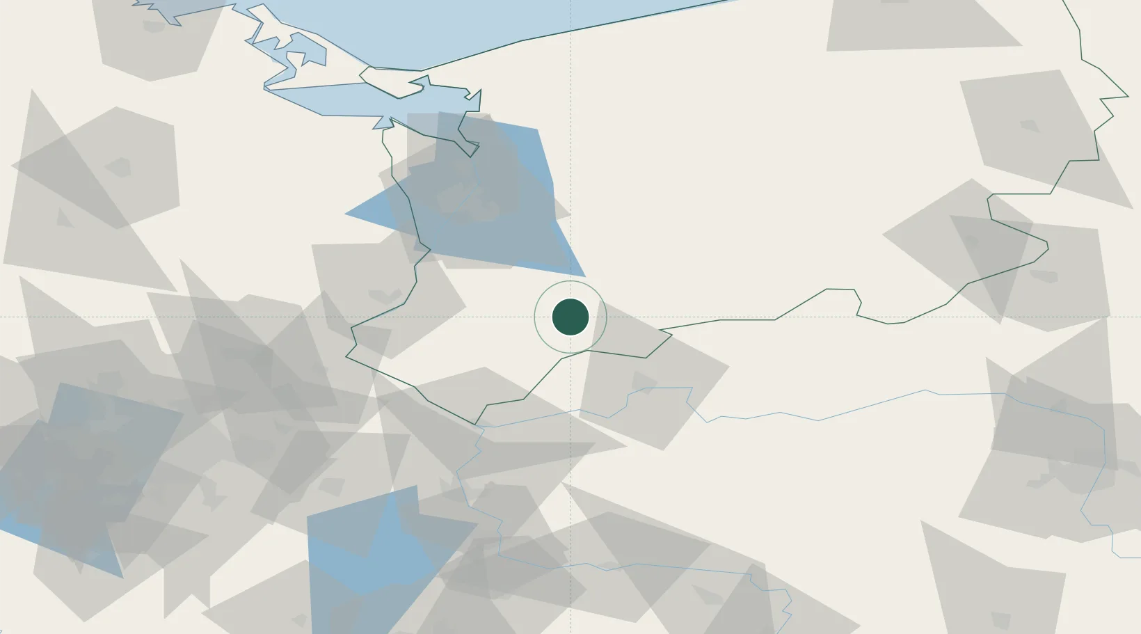
Place type
District seat
Region
West Pomerania
Population
4,159
Time zone
Europe/Warsaw
Elevation
69 m
Location
Nearby Logistics Neighbours
Cities
- 1Mysliborz12 km
- 2Pyrzyce16 km
- 3Stare Czarnowo34 km
- 4Gorzów Wielkopolski35 km
- 5Debno35 km
Ports
- 1Szczecin54 km
- 2Police68 km
- 3Swinoujscie112 km
- 4Wolgast141 km
- 5Kolobrzeg141 km
Airports
Trade Zones
- 1Kostrzyń-Słubice SEZ50 km
- 2Szczecin Duty Free Zone54 km
- 3Swinoujscie Duty Free Zone110 km
- 4Legnica SEZ (Legnicka SSE)202 km
- 5Słupsk SEZ (Słupska SSE)212 km
DatabookThe Record of Consolidated Knowledge
Poland beyond logistics?