Transport Functions
Rail
Road
Hub Profile
Place type
Provincial seat
Region
West Pomerania
Population
12,092
Time zone
Europe/Warsaw
Elevation
65 m
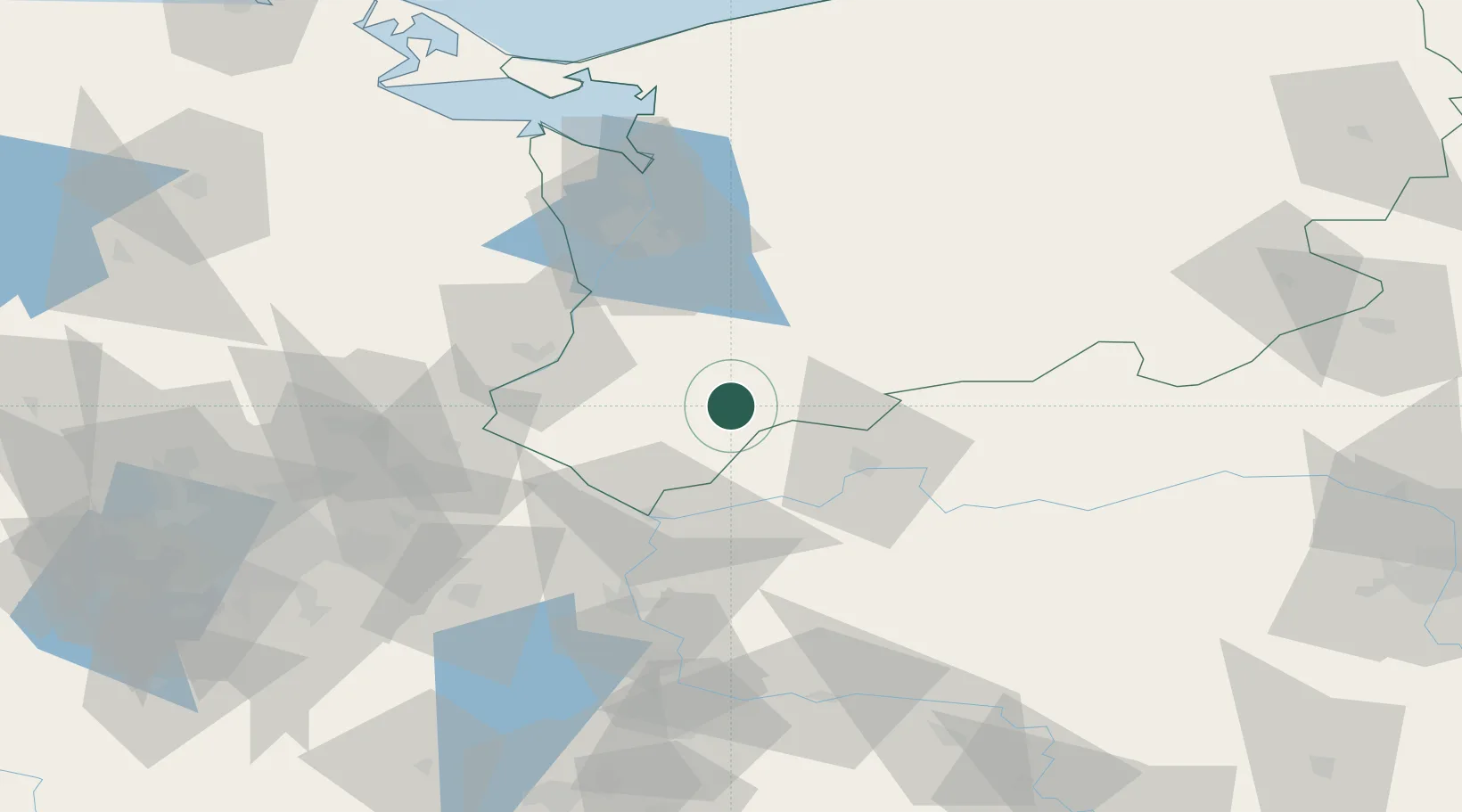
Location
Nearby Logistics Neighbours
Cities
- 1Lipiany12 km
- 2Debno23 km
- 3Pyrzyce24 km
- 4Suchlica30 km
- 5Gorzów Wielkopolski33 km
Ports
- 1Szczecin59 km
- 2Police75 km
- 3Swinoujscie118 km
- 4Wolgast144 km
- 5Kolobrzeg152 km
Airports
Trade Zones
- 1Kostrzyń-Słubice SEZ38 km
- 2Szczecin Duty Free Zone59 km
- 3Swinoujscie Duty Free Zone116 km
- 4Legnica SEZ (Legnicka SSE)196 km
- 5Słupsk SEZ (Słupska SSE)224 km
DatabookThe Record of Consolidated Knowledge
Poland beyond logistics?