Transport Functions
Port
Hub Profile
Place type
District seat
Region
West Pomerania
Population
2,904
Time zone
Europe/Warsaw
Elevation
2 m
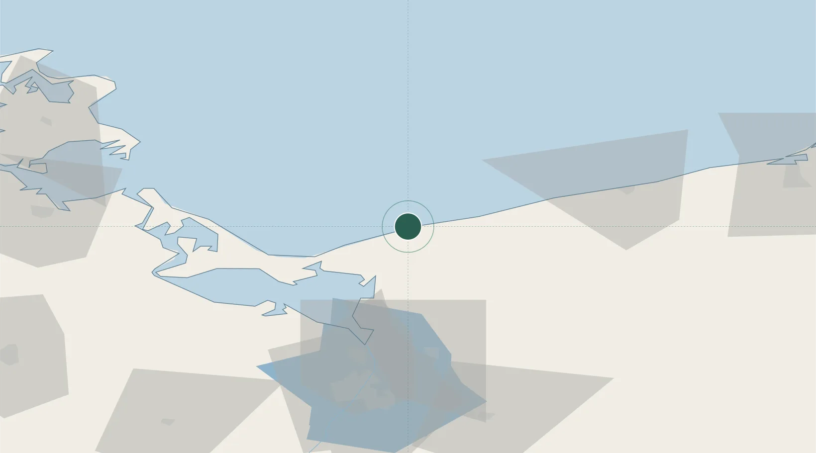
Location
Nearby Logistics Neighbours
Cities
- 1Kamien Pomorski8 km
- 2Rewal18 km
- 3Niechorze22 km
- 4Wolin22 km
- 5Miedzyzdroje23 km
Ports
- 1Swinoujscie34 km
- 2Police53 km
- 3Kolobrzeg56 km
- 4Wolgast63 km
- 5Szczecin70 km
Airports
Trade Zones
- 1Swinoujscie Duty Free Zone35 km
- 2Szczecin Duty Free Zone69 km
- 3Słupsk SEZ (Słupska SSE)156 km
- 4Kostrzyń-Słubice SEZ160 km
- 5MTS Malmö Transport and Spedition205 km
DatabookThe Record of Consolidated Knowledge
Poland beyond logistics?