Transport Functions
Rail
Road
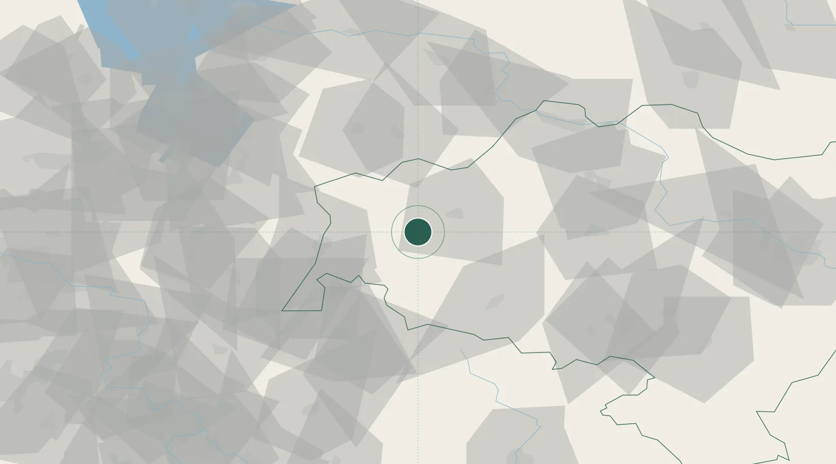
Hub Profile
Place type
District seat
Region
Lower Silesia
Population
4,031
Time zone
Europe/Warsaw
Elevation
207 m
Location
Nearby Logistics Neighbours
Cities
- 1Boleslawiec14 km
- 2Raciborowice Górne21 km
- 3Görlitz28 km
- 4Gromadka31 km
- 5Pobiedna31 km
Ports
- 1Szczecin253 km
- 2Police269 km
- 3Swinoujscie312 km
- 4Wolgast335 km
- 5Kolobrzeg336 km
Airports
- 1Rothenburg/Görlitz Airfield36 km
- 2Copernicus Wrocław Airport104 km
- 3Zielona Góra-Babimost Airport108 km
- 4Dresden Airport114 km
- 5Kostomlaty Airstrip115 km
Trade Zones
DatabookThe Record of Consolidated Knowledge
Poland beyond logistics?