Transport Functions
Rail
Road
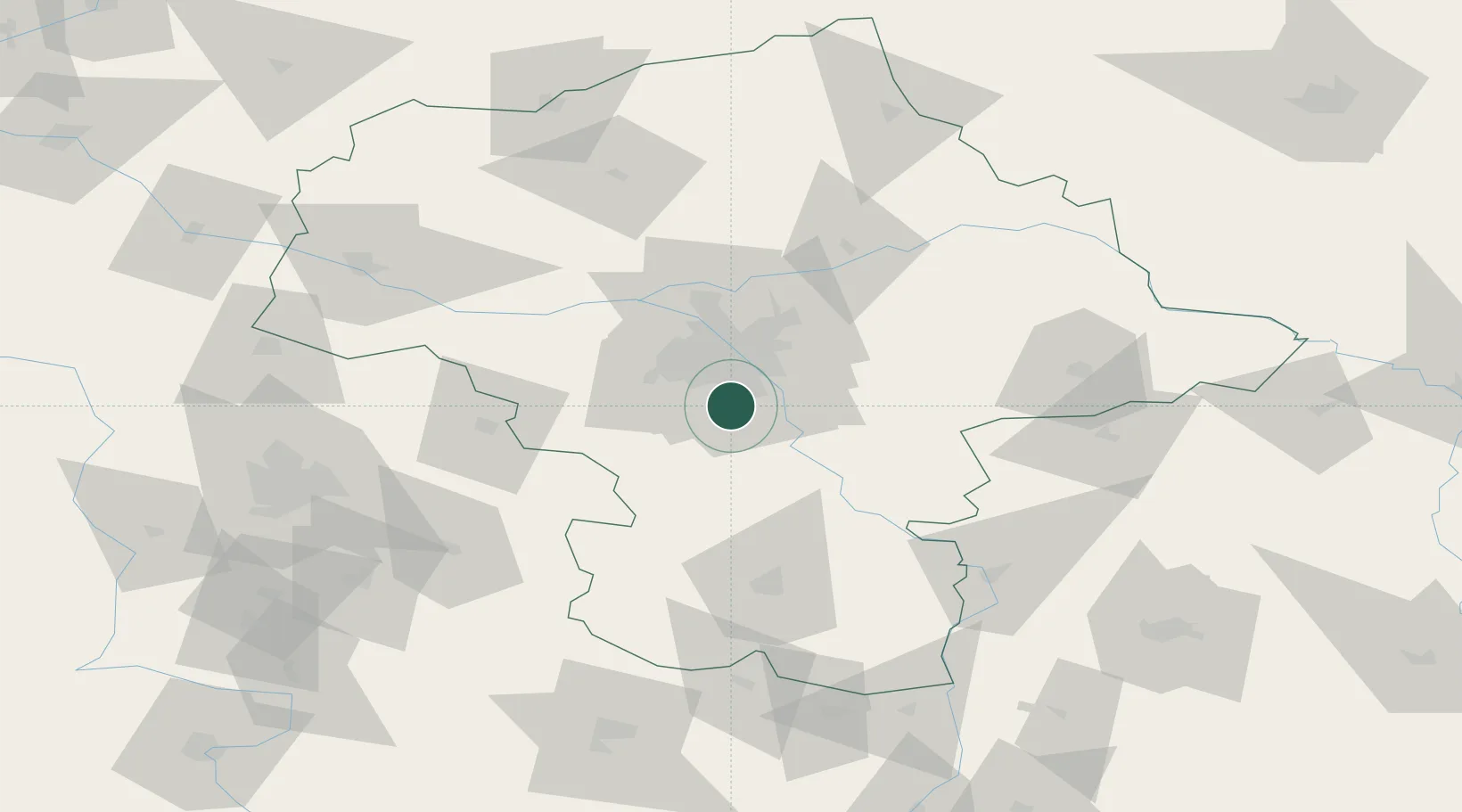
Hub Profile
Place type
Provincial seat
Region
Mazovia
Population
36,278
Time zone
Europe/Warsaw
Elevation
108 m
Location
Nearby Logistics Neighbours
Cities
- 1Zalesie Górne2 km
- 2Loziska3 km
- 3Lesznowola6 km
- 4Konstantcin7 km
- 5Konstancin-Jeziorna8 km
Ports
- 1Baltiysk297 km
- 2Kaliningrad297 km
- 3Gdansk300 km
- 4Nowy Port306 km
- 5Gdynia321 km
Airports
Trade Zones
DatabookThe Record of Consolidated Knowledge
Poland beyond logistics?