Transport Functions
Rail
Road
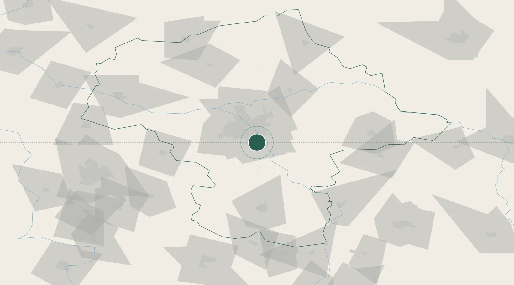
Location
Nearby Logistics Neighbours
Cities
- 1Konstancin-Jeziorna1 km
- 2Piaseczno7 km
- 3Zalesie Górne7 km
- 4Baniocha8 km
- 5Loziska8 km
Ports
- 1Kaliningrad294 km
- 2Baltiysk295 km
- 3Gdansk300 km
- 4Nowy Port306 km
- 5Gdynia321 km
Airports
- 1Warsaw Chopin Airport13 km
- 2Minsk Mazowiecki Military Air Base40 km
- 3Warsaw Modlin Airport51 km
- 4Warsaw Radom Airport78 km
- 5Deblin Military Air Base80 km
Trade Zones
DatabookThe Record of Consolidated Knowledge
Poland beyond logistics?