Transport Functions
Multimodal
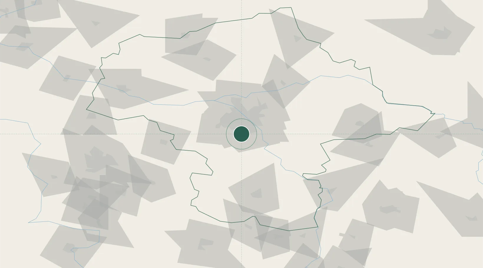
Hub Profile
Place type
Populated place
Region
Mazovia
Time zone
Europe/Warsaw
Elevation
109 m
Location
Nearby Logistics Neighbours
Cities
- 1Lesznowola3 km
- 2Piaseczno3 km
- 3Zalesie Górne5 km
- 4Konstantcin8 km
- 5Konstancin-Jeziorna9 km
Ports
- 1Baltiysk294 km
- 2Kaliningrad295 km
- 3Gdansk297 km
- 4Nowy Port303 km
- 5Gdynia318 km
Airports
Trade Zones
DatabookThe Record of Consolidated Knowledge
Poland beyond logistics?