UN/LOCODE hub · Poland
PLLSW

Lesznowola

52.0833°, 20.9500°
5,374
Population
1
Transport functions

Transport Functions

Multimodal
UN/LOCODE

Hub Profile

Place type
Populated place
GeoNames
Region
Mazovia
GeoNames
Population
5,374
GeoNames
Time zone
Europe/Warsaw
GeoNames
Elevation
116 m
GeoNames

Location

Location of PLLSW
Natural Earth 10m (public domain) · Mazovia · PLLSW · 52.08, 20.95GoogleOSMYandex

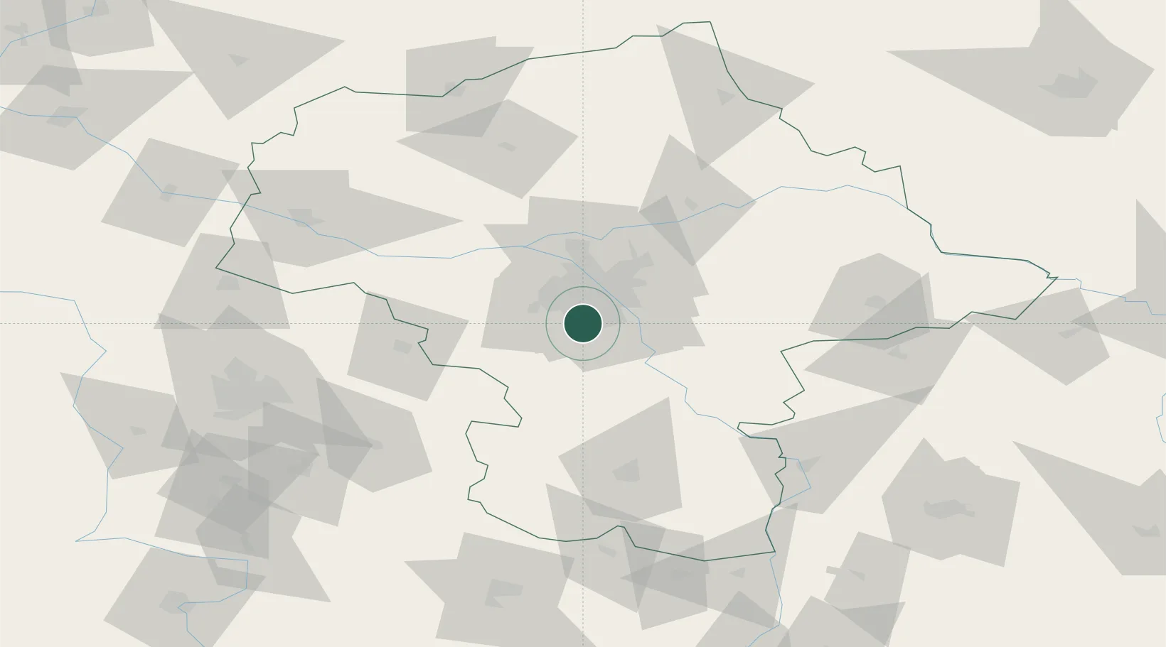
Nearby Logistics Neighbours

Cities
  1. 1Loziska3 km
  2. 2Piaseczno6 km
  3. 3Zalesie Górne8 km
  4. 4Wolka Kosowska9 km
  5. 5Konstantcin10 km
Nearest neighbours — logibook spatial index (haversine) over the source coordinates
Ports
  1. 1Baltiysk292 km
  2. 2Kaliningrad293 km
  3. 3Gdansk294 km
  4. 4Nowy Port301 km
  5. 5Gdynia316 km
Nearest neighbours — logibook spatial index (haversine) over the source coordinates
Airports
  1. 1Warsaw Chopin Airport9 km
  2. 2Warsaw Modlin Airport46 km
  3. 3Minsk Mazowiecki Military Air Base50 km
  4. 4Warsaw Radom Airport79 km
  5. 5Tomaszów Mazowiecki Military Air Base81 km
Nearest neighbours — logibook spatial index (haversine) over the source coordinates
Trade Zones
  1. 1Warsaw Airport Duty Free Zone9 km
  2. 2East-West Duty Free Zone33 km
  3. 3Łódź SEZ (ōódzka SSE)108 km
  4. 4Starachowice SEZ (SSE Starachowice)117 km
  5. 5Lublin Subzone (of Euro-Park Mielec)140 km
Nearest neighbours — logibook spatial index (haversine) over the source coordinates
DatabookThe Record of Consolidated Knowledge
Poland beyond logistics?
Browse databook

All Sources

LocationsUN/LOCODE
UN/LOCODE — free
LocationsGeoNames
CC BY 4.0
Portsthe NGA World Port Index
Public domain (US gov)
AirportsOurAirports
Public domain
Trade Zonesthe World Bank SEZ database
CC BY 4.0
Trade ZonesOpen Zone Map
CC BY
← Poland locations