UN/LOCODE hub · Poland
PLOYU
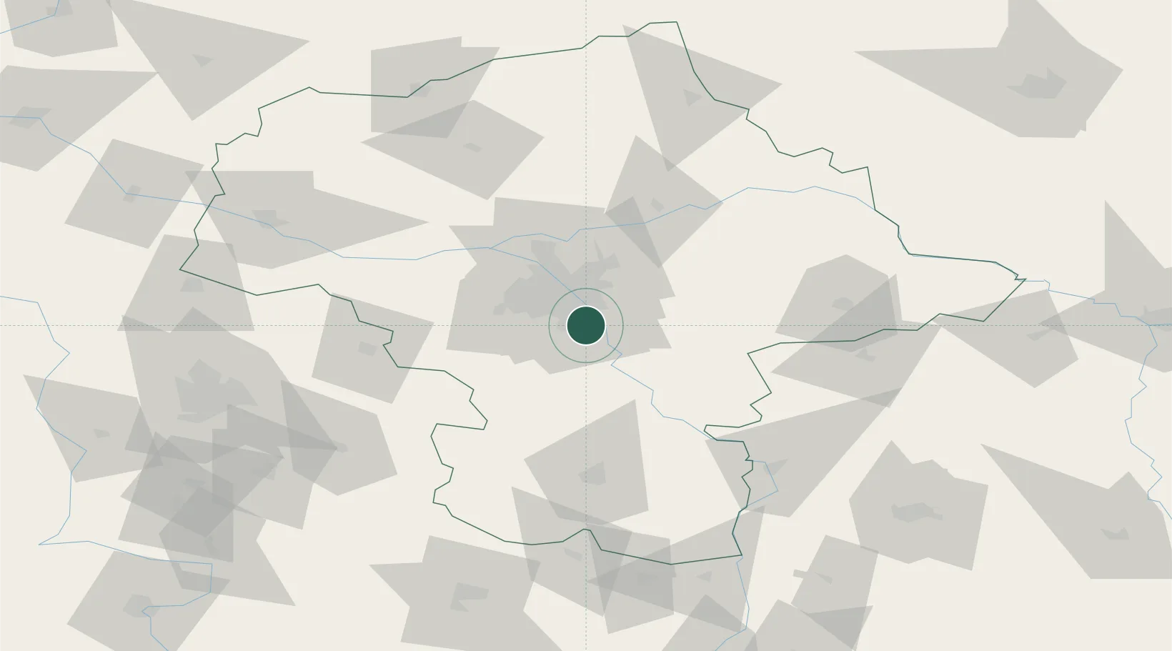
Konstancin-Jeziorna
52.0833°, 21.1167°
16,548
Population
3
Transport functions
Transport Functions
Rail
Road
Multimodal
Hub Profile
Place type
District seat
Region
Mazovia
Population
16,548
Time zone
Europe/Warsaw
Elevation
89 m
Location
Nearby Logistics Neighbours
Cities
- 1Konstantcin1 km
- 2Baniocha7 km
- 3Piaseczno8 km
- 4Zalesie Górne8 km
- 5Karczew9 km
Ports
- 1Kaliningrad294 km
- 2Baltiysk295 km
- 3Gdansk300 km
- 4Nowy Port306 km
- 5Gdynia321 km
Airports
- 1Warsaw Chopin Airport14 km
- 2Minsk Mazowiecki Military Air Base39 km
- 3Warsaw Modlin Airport52 km
- 4Warsaw Radom Airport78 km
- 5Deblin Military Air Base80 km
Trade Zones
DatabookThe Record of Consolidated Knowledge
Poland beyond logistics?