Transport Functions
Rail
Road
Hub Profile
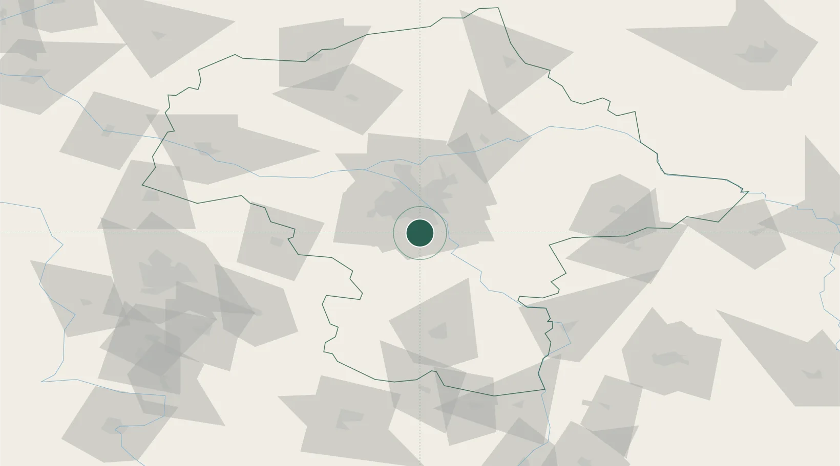
Place type
Populated place
Region
Mazovia
Population
3,099
Time zone
Europe/Warsaw
Elevation
115 m
Location
Nearby Logistics Neighbours
Cities
- 1Piaseczno2 km
- 2Loziska5 km
- 3Baniocha6 km
- 4Konstantcin7 km
- 5Lesznowola8 km
Ports
- 1Baltiysk299 km
- 2Kaliningrad299 km
- 3Gdansk302 km
- 4Nowy Port308 km
- 5Gdynia323 km
Airports
- 1Warsaw Chopin Airport15 km
- 2Minsk Mazowiecki Military Air Base46 km
- 3Warsaw Modlin Airport53 km
- 4Warsaw Radom Airport73 km
- 5Deblin Military Air Base80 km
Trade Zones
DatabookThe Record of Consolidated Knowledge
Poland beyond logistics?