Transport Functions
Multimodal
Hub Profile
Region
LD
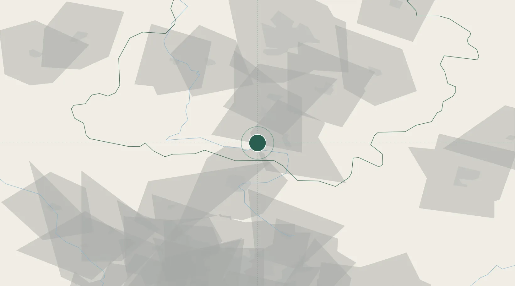
Location
Nearby Logistics Neighbours
Cities
- 1Stanislawow Pierwszy25 km
- 2Klobuck30 km
- 3Nowa Wies31 km
- 4Karczew33 km
- 5Dabrowa Zielona34 km
Ports
- 1Gdansk365 km
- 2Nowy Port373 km
- 3Gdynia387 km
- 4Baltiysk397 km
- 5Kaliningrad411 km
Airports
Trade Zones
DatabookThe Record of Consolidated Knowledge
Poland beyond logistics?