UN/LOCODE hub · Poland
PLSTL

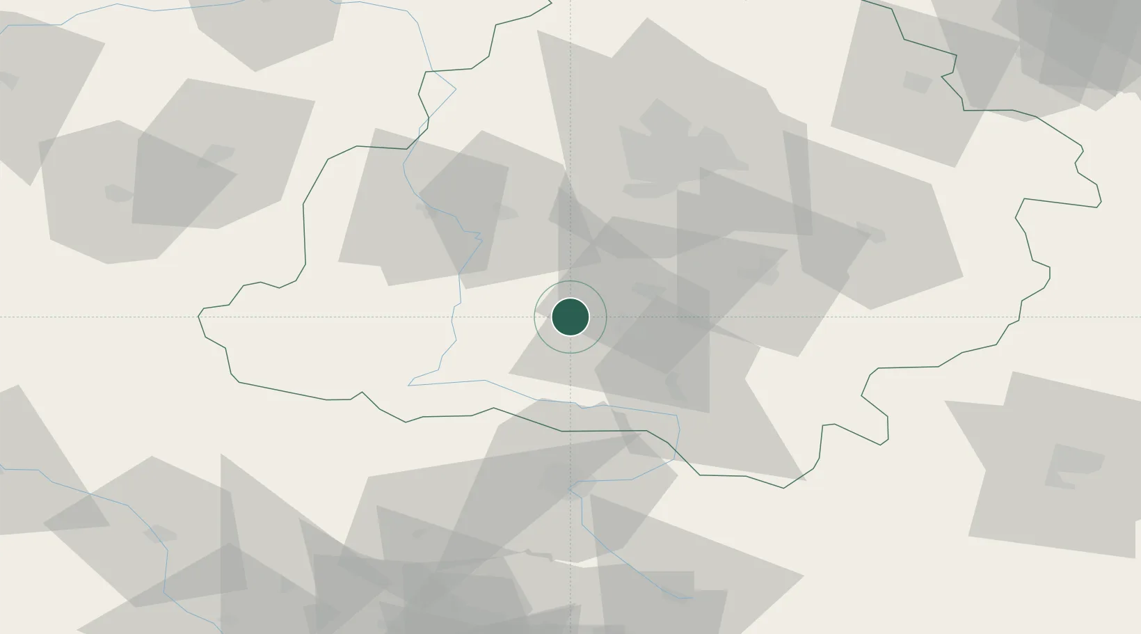
Stanislawow Pierwszy

51.3000°, 19.1333°
267
Population
1
Transport functions

Transport Functions

Multimodal
UN/LOCODE

Hub Profile

Place type
Populated place
GeoNames
Region
Łódź Voivodeship
GeoNames
Population
267
GeoNames
Time zone
Europe/Warsaw
GeoNames
Elevation
178 m
GeoNames

Location

Location of PLSTL
Natural Earth 10m (public domain) · Łódź Voivodeship · PLSTL · 51.30, 19.13GoogleOSMYandex

Nearby Logistics Neighbours

Cities
  1. 1Jedlno25 km
  2. 2Burzenin27 km
  3. 3Wola Krzysztoporska32 km
  4. 4Wierzchlas33 km
  5. 5Piotrków Trybunalski40 km
Nearest neighbours — logibook spatial index (haversine) over the source coordinates
Ports
  1. 1Gdansk341 km
  2. 2Nowy Port348 km
  3. 3Gdynia362 km
  4. 4Baltiysk374 km
  5. 5Kaliningrad389 km
Nearest neighbours — logibook spatial index (haversine) over the source coordinates
Airports
  1. 1Łask Air Base28 km
  2. 2Łódź Władysław Reymont Airport50 km
  3. 3Tomaszów Mazowiecki Military Air Base74 km
  4. 4Leźnica Wielka Air Base78 km
  5. 5Katowice Wojciech Korfanty International Airport92 km
Nearest neighbours — logibook spatial index (haversine) over the source coordinates
Trade Zones
  1. 1Łódź SEZ (ōódzka SSE)56 km
  2. 2Silesian Center for Logistics114 km
  3. 3East-West Duty Free Zone121 km
  4. 4Katowice SEZ (Katowicka SSE)122 km
  5. 5Starachowice SEZ (SSE Starachowice)138 km
Nearest neighbours — logibook spatial index (haversine) over the source coordinates
DatabookThe Record of Consolidated Knowledge
Poland beyond logistics?
Browse databook

All Sources

LocationsUN/LOCODE
UN/LOCODE — free
LocationsGeoNames
CC BY 4.0
Portsthe NGA World Port Index
Public domain (US gov)
AirportsOurAirports
Public domain
Trade Zonesthe World Bank SEZ database
CC BY 4.0
Trade ZonesOpen Zone Map
CC BY
← Poland locations