Transport Functions
Multimodal
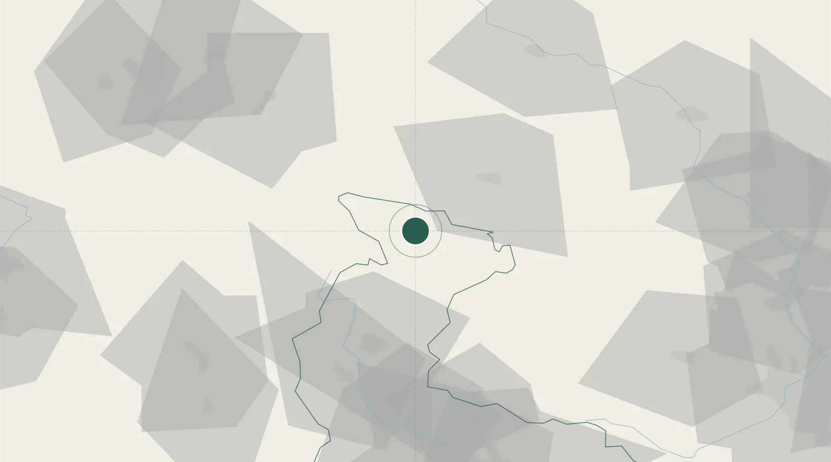
Hub Profile
Place type
Populated place
Region
Olomoucký
Population
1,332
Time zone
Europe/Prague
Elevation
358 m
Location
Nearby Logistics Neighbours
Cities
- 1Ceská Ves12 km
- 2Otmuchów17 km
- 3Staré Mesto20 km
- 4Loucna Nad Desnou28 km
- 5Vrbno pod Pradedem29 km
Ports
- 1Szczecin387 km
- 2Police401 km
- 3Swinoujscie445 km
- 4Kolobrzeg446 km
- 5Darlowo460 km
Airports
- 1Copernicus Wrocław Airport89 km
- 2Leoš Janáček Airport Ostrava100 km
- 3Přerov Air Base101 km
- 4Pardubice Airport103 km
- 5Čáslav Air Base130 km
Trade Zones
DatabookThe Record of Consolidated Knowledge
Czechia beyond logistics?