Transport Functions
Rail
Road
Hub Profile
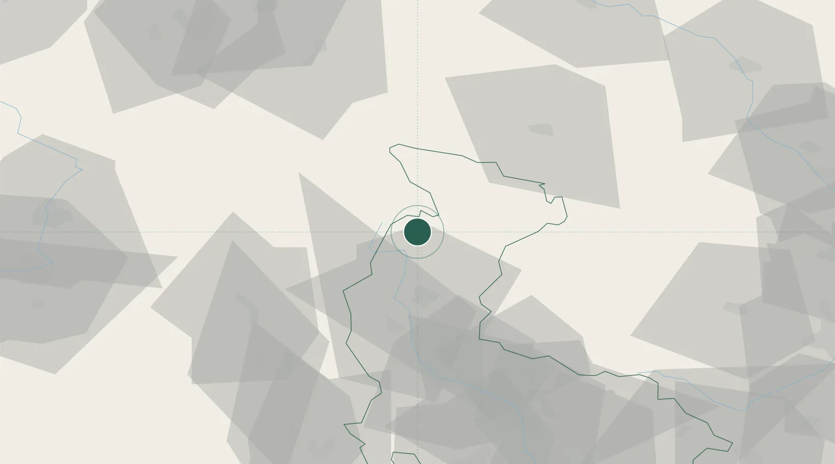
Place type
Populated place
Region
Olomoucký
Population
1,678
Time zone
Europe/Prague
Elevation
538 m
Location
Nearby Logistics Neighbours
Cities
- 1Loucna Nad Desnou15 km
- 2Zulova20 km
- 3Miedzylesie20 km
- 4Cervená Voda21 km
- 5Vikyrovice21 km
Ports
- 1Szczecin397 km
- 2Police412 km
- 3Swinoujscie456 km
- 4Kolobrzeg460 km
- 5Darlowo476 km
Airports
- 1Pardubice Airport88 km
- 2Přerov Air Base89 km
- 3Leoš Janáček Airport Ostrava98 km
- 4Copernicus Wrocław Airport104 km
- 5Brno-Tuřany Airport114 km
Trade Zones
DatabookThe Record of Consolidated Knowledge
Czechia beyond logistics?