Transport Functions
Rail
Road
Hub Profile
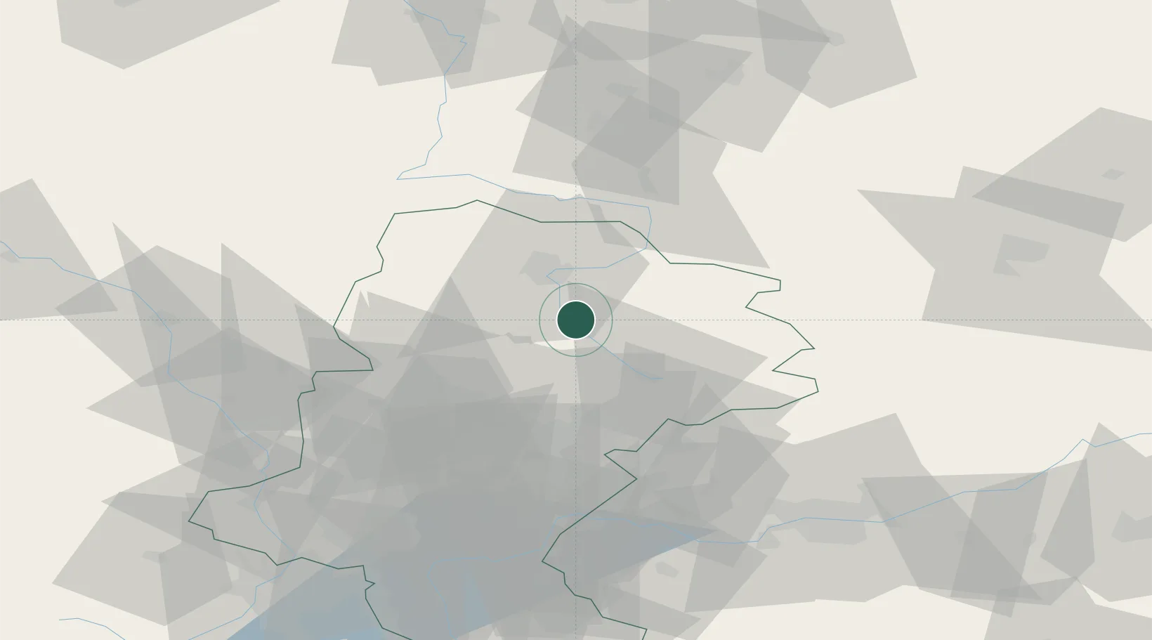
Place type
Populated place
Region
Silesia
Population
4,418
Time zone
Europe/Warsaw
Elevation
273 m
Location
Nearby Logistics Neighbours
Cities
- 1Poreba20 km
- 2Kalety25 km
- 3Miasteczko Slaskie29 km
- 4Nowa Wies32 km
- 5Dabrowa Zielona32 km
Airports
Trade Zones
DatabookThe Record of Consolidated Knowledge
Poland beyond logistics?