UN/LOCODE hub · Poland
PLTBZ

Trzebiez

53.6500°, 14.5167°
2,500
Population
3
Transport functions

Transport Functions

Port
Rail
Road
UN/LOCODE

Hub Profile

Place type
Populated place
GeoNames
Region
West Pomerania
GeoNames
Population
2,500
GeoNames
Time zone
Europe/Warsaw
GeoNames
Elevation
-1 m
GeoNames

Location

Location of PLTBZ
Natural Earth 10m (public domain) · West Pomerania · PLTBZ · 53.65, 14.52GoogleOSMYandex

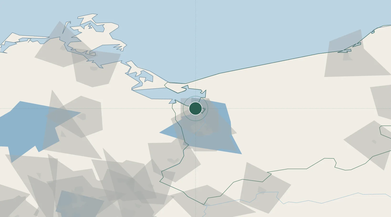
Nearby Logistics Neighbours

Cities
  1. 1Stepnica7 km
  2. 2Brüel16 km
  3. 3Nowe Warpno17 km
  4. 4Skolwin19 km
  5. 5Ahlbeck21 km
Nearest neighbours — logibook spatial index (haversine) over the source coordinates
Ports
  1. 1Police10 km
  2. 2Szczecin26 km
  3. 3Swinoujscie34 km
  4. 4Wolgast66 km
  5. 5Kolobrzeg92 km
Nearest neighbours — logibook spatial index (haversine) over the source coordinates
Airports
  1. 1Solidarity Szczecin–Goleniów Airport26 km
  2. 2Heringsdorf Airport35 km
  3. 3Neubrandenburg Trollenhagen Airport80 km
  4. 4Swidwin Military Air Base88 km
  5. 5Miroslawiec Military Air Base107 km
Nearest neighbours — logibook spatial index (haversine) over the source coordinates
Trade Zones
  1. 1Szczecin Duty Free Zone26 km
  2. 2Swinoujscie Duty Free Zone32 km
  3. 3Kostrzyń-Słubice SEZ118 km
  4. 4Słupsk SEZ (Słupska SSE)187 km
  5. 5MTS Malmö Transport and Spedition236 km
Nearest neighbours — logibook spatial index (haversine) over the source coordinates
DatabookThe Record of Consolidated Knowledge
Poland beyond logistics?
Browse databook

All Sources

LocationsUN/LOCODE
UN/LOCODE — free
LocationsGeoNames
CC BY 4.0
Portsthe NGA World Port Index
Public domain (US gov)
AirportsOurAirports
Public domain
Trade Zonesthe World Bank SEZ database
CC BY 4.0
Trade ZonesOpen Zone Map
CC BY
← Poland locations