UN/LOCODE hub · Germany
DEUCK

Ueckermünde

53.7333°, 14.0500°
3
Transport functions

Transport Functions

Port
Rail
Road
UN/LOCODE

Hub Profile

Region
MV
GeoNames

Location

Location of DEUCK
Natural Earth 10m (public domain) · MV · DEUCK · 53.73, 14.05GoogleOSMYandex

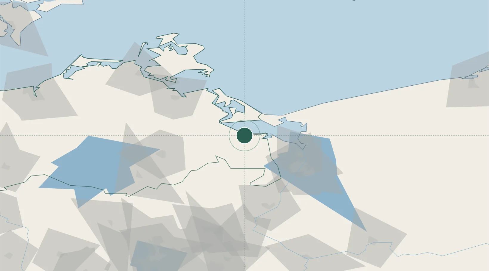
Nearby Logistics Neighbours

Cities
  1. 1Liepgarten3 km
  2. 2Grambin4 km
  3. 3Eggesin6 km
  4. 4Torgelow11 km
  5. 5Ahlbeck12 km
Nearest neighbours — logibook spatial index (haversine) over the source coordinates
Ports
  1. 1Swinoujscie25 km
  2. 2Police39 km
  3. 3Wolgast39 km
  4. 4Szczecin48 km
  5. 5Stralsund90 km
Nearest neighbours — logibook spatial index (haversine) over the source coordinates
Airports
  1. 1Heringsdorf Airport18 km
  2. 2Neubrandenburg Trollenhagen Airport51 km
  3. 3Solidarity Szczecin–Goleniów Airport59 km
  4. 4Swidwin Military Air Base117 km
  5. 5Rostock-Laage Airport118 km
Nearest neighbours — logibook spatial index (haversine) over the source coordinates
Trade Zones
  1. 1Swinoujscie Duty Free Zone23 km
  2. 2Szczecin Duty Free Zone49 km
  3. 3Kostrzyń-Słubice SEZ132 km
  4. 4Słupsk SEZ (Słupska SSE)211 km
  5. 5MTS Malmö Transport and Spedition217 km
Nearest neighbours — logibook spatial index (haversine) over the source coordinates
DatabookThe Record of Consolidated Knowledge
Germany beyond logistics?
Browse databook

All Sources

LocationsUN/LOCODE
UN/LOCODE — free
Portsthe NGA World Port Index
Public domain (US gov)
AirportsOurAirports
Public domain
Trade Zonesthe World Bank SEZ database
CC BY 4.0
Trade ZonesOpen Zone Map
CC BY
← Germany locations