Transport Functions
Multimodal
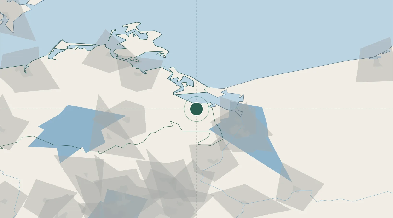
Hub Profile
Place type
Local administrative seat
Region
Mecklenburg-Vorpommern
Population
5,598
Time zone
Europe/Berlin
Elevation
3 m
Location
Nearby Logistics Neighbours
Cities
- 1Liepgarten6 km
- 2Ueckermünde6 km
- 3Torgelow7 km
- 4Ahlbeck8 km
- 5Grambin10 km
Ports
- 1Swinoujscie29 km
- 2Police34 km
- 3Szczecin43 km
- 4Wolgast45 km
- 5Stralsund95 km
Airports
Trade Zones
- 1Swinoujscie Duty Free Zone27 km
- 2Szczecin Duty Free Zone44 km
- 3Kostrzyń-Słubice SEZ127 km
- 4Słupsk SEZ (Słupska SSE)211 km
- 5MTS Malmö Transport and Spedition223 km
DatabookThe Record of Consolidated Knowledge
Germany beyond logistics?