Transport Functions
Rail
Road
Hub Profile
Place type
District seat
Region
West Pomerania
Population
16,703
Time zone
Europe/Warsaw
Elevation
52 m
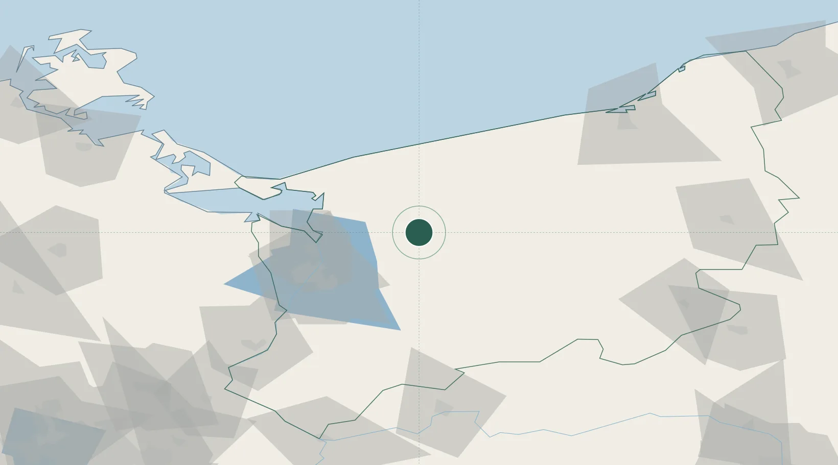
Location
Nearby Logistics Neighbours
Cities
- 1Chociwel25 km
- 2Brüel28 km
- 3Starogard30 km
- 4Gryfice30 km
- 5Kliniska Wielkie31 km
Ports
- 1Police37 km
- 2Szczecin46 km
- 3Swinoujscie63 km
- 4Kolobrzeg69 km
- 5Wolgast98 km
Airports
Trade Zones
- 1Szczecin Duty Free Zone44 km
- 2Swinoujscie Duty Free Zone62 km
- 3Kostrzyń-Słubice SEZ121 km
- 4Słupsk SEZ (Słupska SSE)154 km
- 5MTS Malmö Transport and Spedition253 km
DatabookThe Record of Consolidated Knowledge
Poland beyond logistics?