Transport Functions
Rail
Road
Hub Profile
Place type
Populated place
Region
West Pomerania
Time zone
Europe/Warsaw
Elevation
75 m
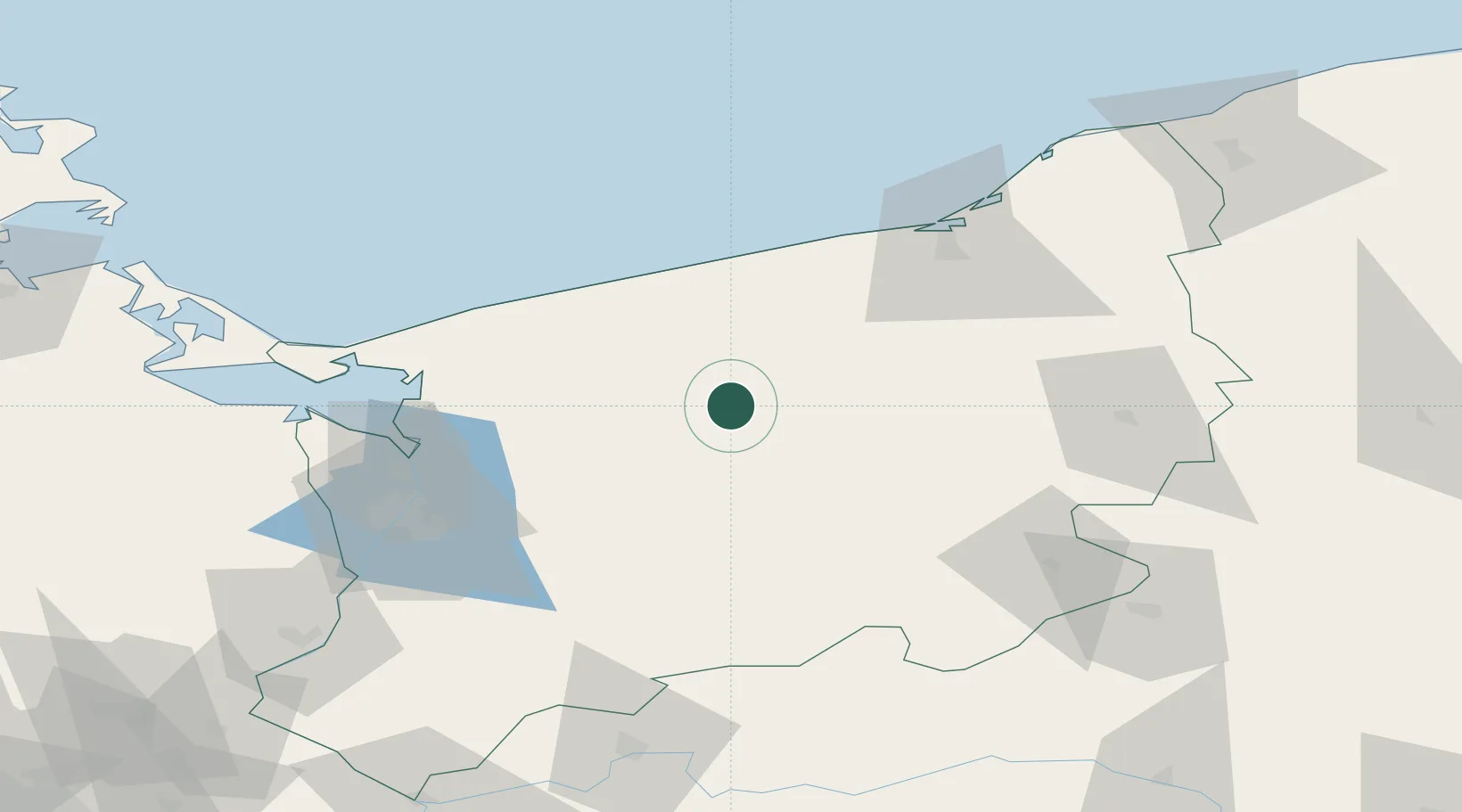
Location
Nearby Logistics Neighbours
Cities
- 1Swidwin17 km
- 2Wegorzyno24 km
- 3Gryfice29 km
- 4Nowogard30 km
- 5Drawsko Pomorskie30 km
Ports
- 1Kolobrzeg52 km
- 2Police67 km
- 3Szczecin75 km
- 4Swinoujscie85 km
- 5Darlowo95 km
Airports
Trade Zones
- 1Szczecin Duty Free Zone73 km
- 2Swinoujscie Duty Free Zone84 km
- 3Słupsk SEZ (Słupska SSE)126 km
- 4Kostrzyń-Słubice SEZ142 km
- 5MTS Malmö Transport and Spedition259 km
DatabookThe Record of Consolidated Knowledge
Poland beyond logistics?