UN/LOCODE hub · Germany
DEBJL

Brüel

53.7333°, 14.7167°
1
Transport functions

Transport Functions

Multimodal
UN/LOCODE

Hub Profile

Region
MV
GeoNames

Location

Location of DEBJL
Natural Earth 10m (public domain) · MV · DEBJL · 53.73, 14.72GoogleOSMYandex

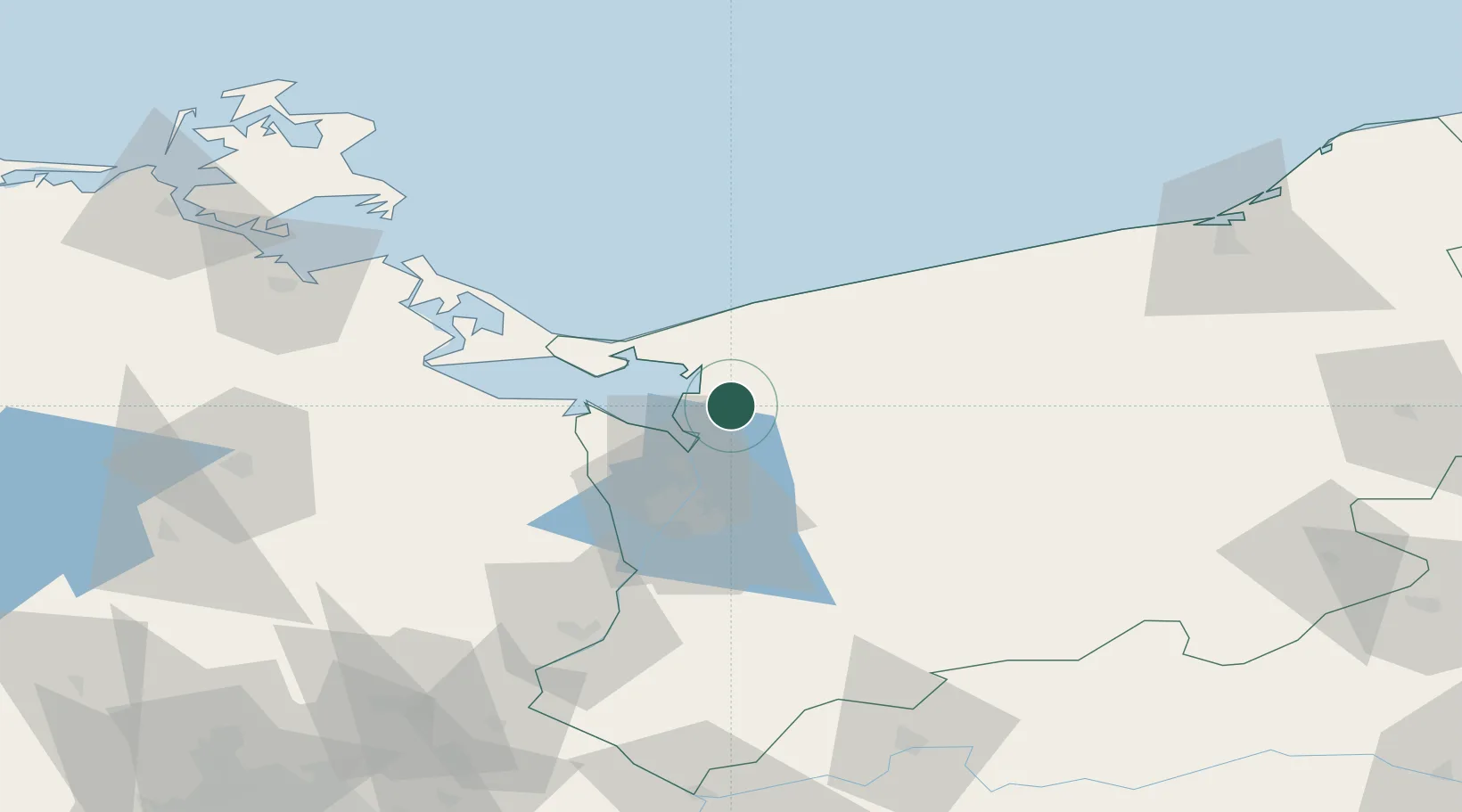
Nearby Logistics Neighbours

Cities
  1. 1Stepnica11 km
  2. 2Wolin15 km
  3. 3Trzebiez16 km
  4. 4Kamien Pomorski26 km
  5. 5Nowe Warpno27 km
Nearest neighbours — logibook spatial index (haversine) over the source coordinates
Ports
  1. 1Police21 km
  2. 2Swinoujscie36 km
  3. 3Szczecin37 km
  4. 4Wolgast71 km
  5. 5Kolobrzeg77 km
Nearest neighbours — logibook spatial index (haversine) over the source coordinates
Airports
  1. 1Solidarity Szczecin–Goleniów Airport21 km
  2. 2Heringsdorf Airport40 km
  3. 3Swidwin Military Air Base73 km
  4. 4Neubrandenburg Trollenhagen Airport94 km
  5. 5Miroslawiec Military Air Base98 km
Nearest neighbours — logibook spatial index (haversine) over the source coordinates
Trade Zones
  1. 1Swinoujscie Duty Free Zone34 km
  2. 2Szczecin Duty Free Zone36 km
  3. 3Kostrzyń-Słubice SEZ127 km
  4. 4Słupsk SEZ (Słupska SSE)171 km
  5. 5MTS Malmö Transport and Spedition233 km
Nearest neighbours — logibook spatial index (haversine) over the source coordinates
DatabookThe Record of Consolidated Knowledge
Germany beyond logistics?
Browse databook

All Sources

LocationsUN/LOCODE
UN/LOCODE — free
Portsthe NGA World Port Index
Public domain (US gov)
AirportsOurAirports
Public domain
Trade Zonesthe World Bank SEZ database
CC BY 4.0
Trade ZonesOpen Zone Map
CC BY
← Germany locations