Transport Functions
Road
Multimodal
Hub Profile
Place type
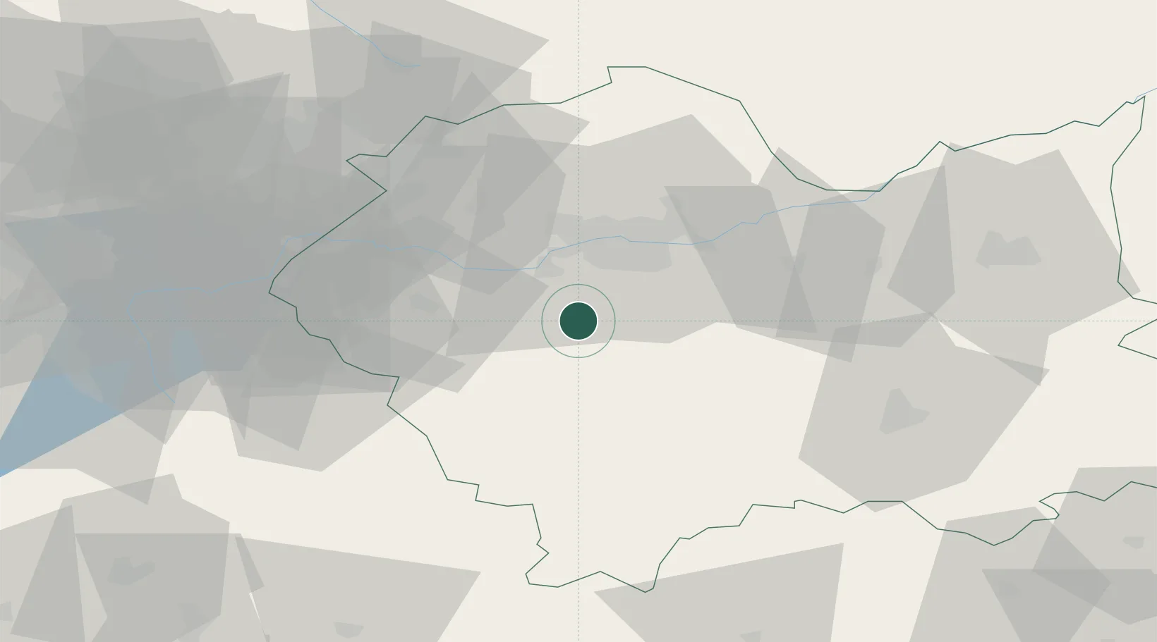
Populated place
Region
Lesser Poland
Population
2,822
Time zone
Europe/Warsaw
Elevation
309 m
Location
Nearby Logistics Neighbours
Cities
- 1Myslenice5 km
- 2Kalwaria Zebrzydowska15 km
- 3Borek Szlachecki15 km
- 4Maków Podhalanski19 km
- 5Piekary20 km
Airports
Trade Zones
DatabookThe Record of Consolidated Knowledge
Poland beyond logistics?