UN/LOCODE hub · Poland
PLOXG

Wolka Kosowska

52.0500°, 20.8333°
1
Transport functions

Transport Functions

Multimodal
UN/LOCODE

Hub Profile

Region
MZ
GeoNames

Location

Location of PLOXG
Natural Earth 10m (public domain) · MZ · PLOXG · 52.05, 20.83GoogleOSMYandex

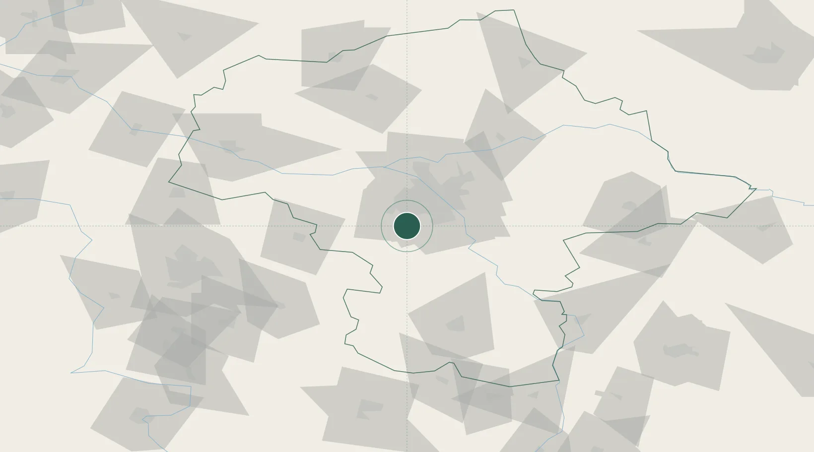
Nearby Logistics Neighbours

Cities
  1. 1Otrebusy5 km
  2. 2Lesznowola9 km
  3. 3Tarczyn9 km
  4. 4Komorow9 km
  5. 5Kanie10 km
Nearest neighbours — logibook spatial index (haversine) over the source coordinates
Ports
  1. 1Gdansk294 km
  2. 2Baltiysk294 km
  3. 3Kaliningrad296 km
  4. 4Nowy Port300 km
  5. 5Gdynia315 km
Nearest neighbours — logibook spatial index (haversine) over the source coordinates
Airports
  1. 1Warsaw Chopin Airport16 km
  2. 2Warsaw Modlin Airport46 km
  3. 3Minsk Mazowiecki Military Air Base58 km
  4. 4Tomaszów Mazowiecki Military Air Base72 km
  5. 5Warsaw Radom Airport78 km
Nearest neighbours — logibook spatial index (haversine) over the source coordinates
Trade Zones
  1. 1Warsaw Airport Duty Free Zone16 km
  2. 2East-West Duty Free Zone24 km
  3. 3Łódź SEZ (ōódzka SSE)99 km
  4. 4Starachowice SEZ (SSE Starachowice)114 km
  5. 5Lublin Subzone (of Euro-Park Mielec)144 km
Nearest neighbours — logibook spatial index (haversine) over the source coordinates
DatabookThe Record of Consolidated Knowledge
Poland beyond logistics?
Browse databook

All Sources

LocationsUN/LOCODE
UN/LOCODE — free
Portsthe NGA World Port Index
Public domain (US gov)
AirportsOurAirports
Public domain
Trade Zonesthe World Bank SEZ database
CC BY 4.0
Trade ZonesOpen Zone Map
CC BY
← Poland locations