Transport Functions
Multimodal
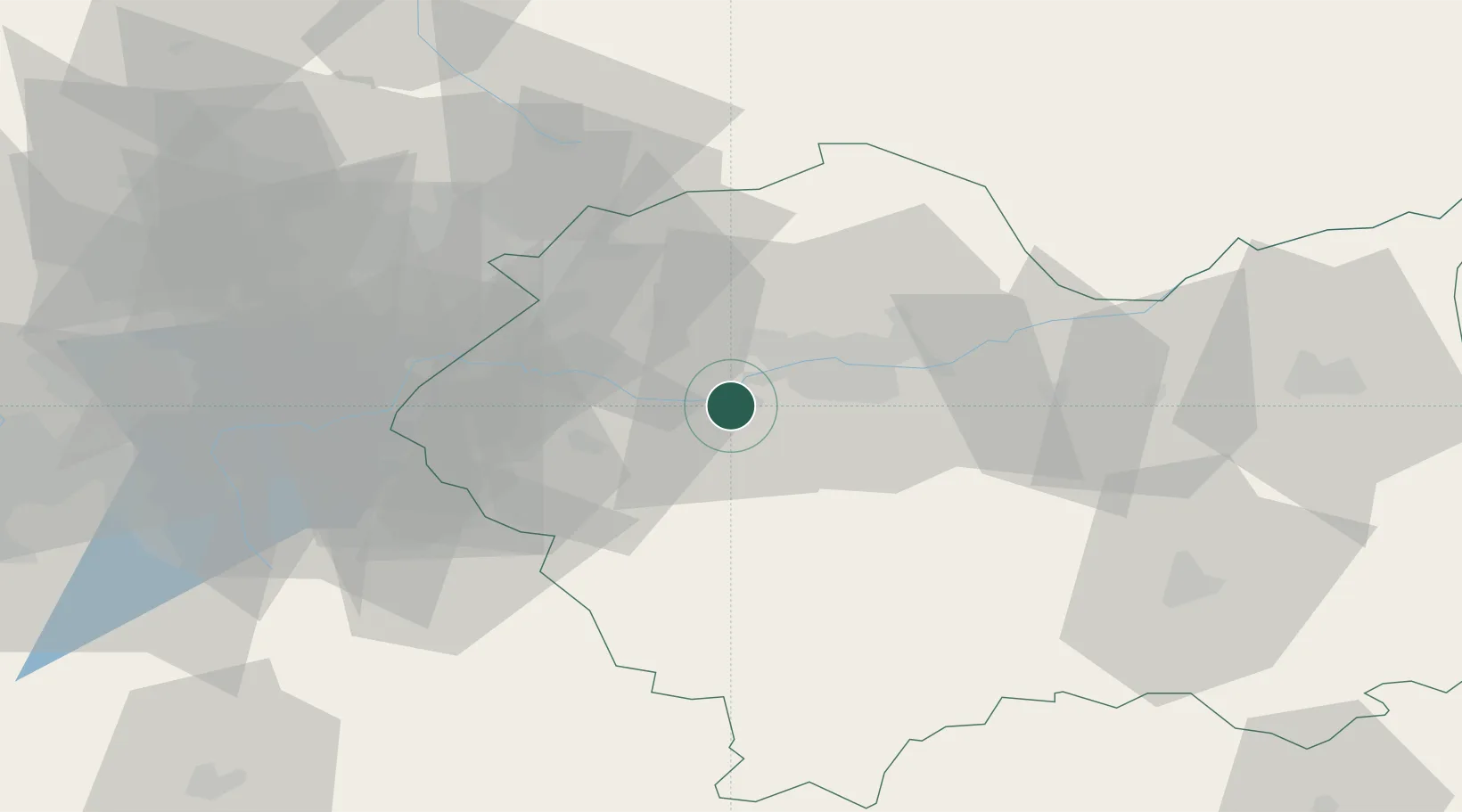
Hub Profile
Place type
Populated place
Region
Lesser Poland
Population
990
Time zone
Europe/Warsaw
Elevation
217 m
Location
Nearby Logistics Neighbours
Cities
- 1Piekary6 km
- 2Kalwaria Zebrzydowska13 km
- 3Jawornik15 km
- 4Szczyglice15 km
- 5Zabierzow17 km
Airports
Trade Zones
DatabookThe Record of Consolidated Knowledge
Poland beyond logistics?