UN/LOCODE hub · Poland
PLSPA

Stepnica

53.6500°, 14.6167°
2,067
Population
3
Transport functions

Transport Functions

Port
Rail
Road
UN/LOCODE

Hub Profile

Place type
District seat
GeoNames
Region
West Pomerania
GeoNames
Population
2,067
GeoNames
Time zone
Europe/Warsaw
GeoNames
Elevation
1 m
GeoNames

Location

Location of PLSPA
Natural Earth 10m (public domain) · West Pomerania · PLSPA · 53.65, 14.62GoogleOSMYandex

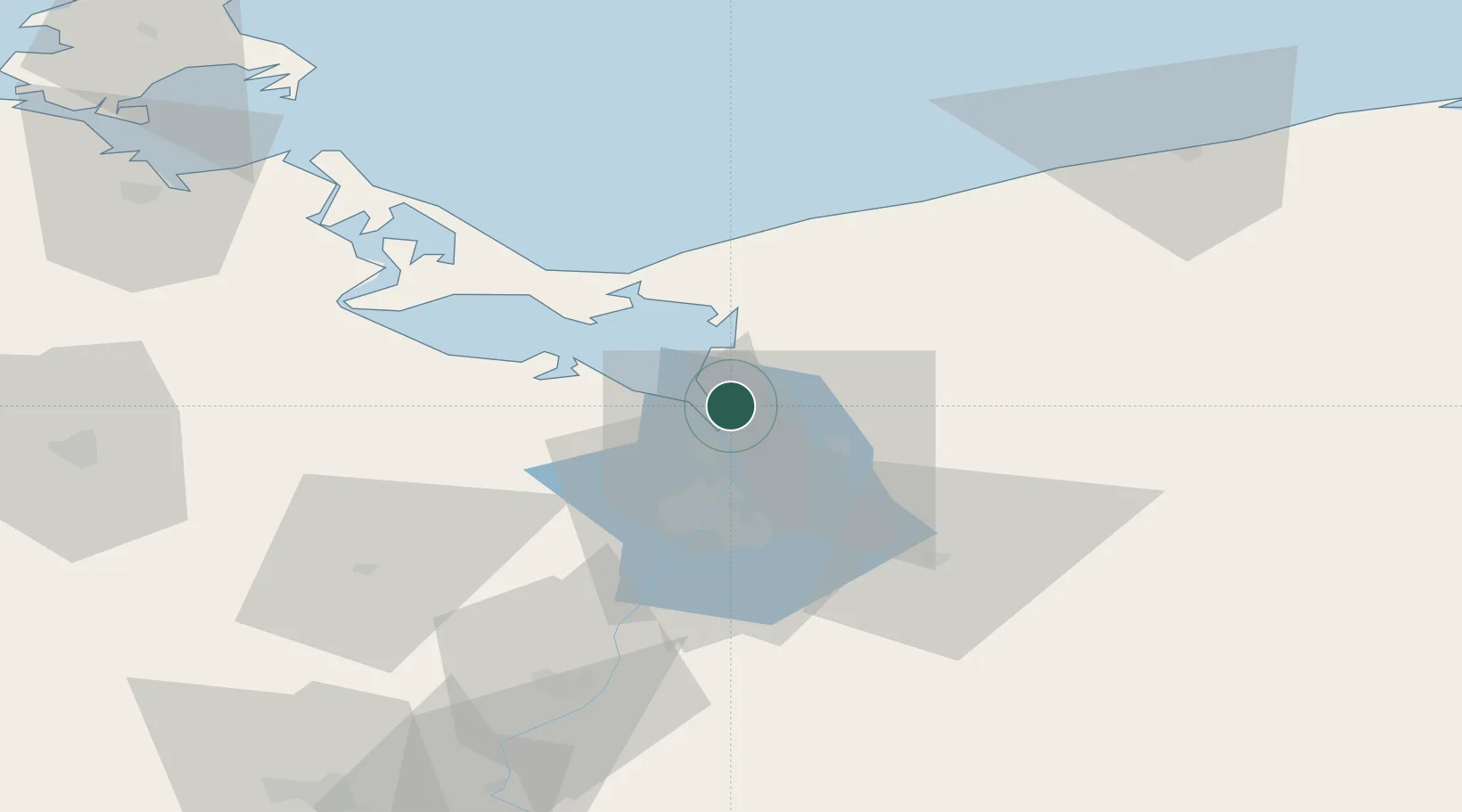
Nearby Logistics Neighbours

Cities
  1. 1Trzebiez7 km
  2. 2Brüel11 km
  3. 3Skolwin19 km
  4. 4Wolin22 km
  5. 5Kliniska Wielkie23 km
Nearest neighbours — logibook spatial index (haversine) over the source coordinates
Ports
  1. 1Police10 km
  2. 2Szczecin26 km
  3. 3Swinoujscie38 km
  4. 4Wolgast71 km
  5. 5Kolobrzeg88 km
Nearest neighbours — logibook spatial index (haversine) over the source coordinates
Airports
  1. 1Solidarity Szczecin–Goleniów Airport20 km
  2. 2Heringsdorf Airport40 km
  3. 3Swidwin Military Air Base81 km
  4. 4Neubrandenburg Trollenhagen Airport87 km
  5. 5Miroslawiec Military Air Base101 km
Nearest neighbours — logibook spatial index (haversine) over the source coordinates
Trade Zones
  1. 1Szczecin Duty Free Zone26 km
  2. 2Swinoujscie Duty Free Zone36 km
  3. 3Kostrzyń-Słubice SEZ117 km
  4. 4Słupsk SEZ (Słupska SSE)182 km
  5. 5MTS Malmö Transport and Spedition239 km
Nearest neighbours — logibook spatial index (haversine) over the source coordinates
DatabookThe Record of Consolidated Knowledge
Poland beyond logistics?
Browse databook

All Sources

LocationsUN/LOCODE
UN/LOCODE — free
LocationsGeoNames
CC BY 4.0
Portsthe NGA World Port Index
Public domain (US gov)
AirportsOurAirports
Public domain
Trade Zonesthe World Bank SEZ database
CC BY 4.0
Trade ZonesOpen Zone Map
CC BY
← Poland locations