Transport Functions
Rail
Road
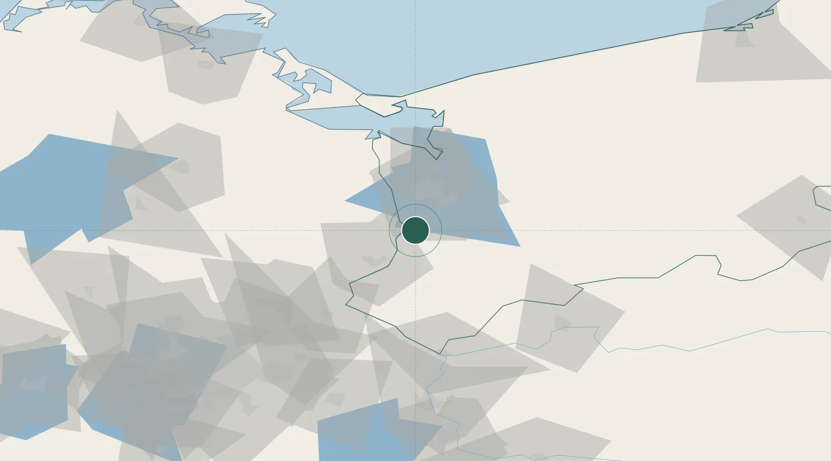
Hub Profile
Place type
District seat
Region
West Pomerania
Population
21,270
Time zone
Europe/Warsaw
Elevation
7 m
Location
Nearby Logistics Neighbours
Cities
- 1Mescherin4 km
- 2Gartz8 km
- 3Gardno10 km
- 4Tantow11 km
- 5Stare Czarnowo21 km
Ports
- 1Szczecin21 km
- 2Police38 km
- 3Swinoujscie77 km
- 4Wolgast102 km
- 5Kolobrzeg130 km
Airports
Trade Zones
- 1Szczecin Duty Free Zone22 km
- 2Kostrzyń-Słubice SEZ72 km
- 3Swinoujscie Duty Free Zone75 km
- 4Słupsk SEZ (Słupska SSE)216 km
- 5Legnica SEZ (Legnicka SSE)239 km
DatabookThe Record of Consolidated Knowledge
Poland beyond logistics?