Transport Functions
Rail
Road
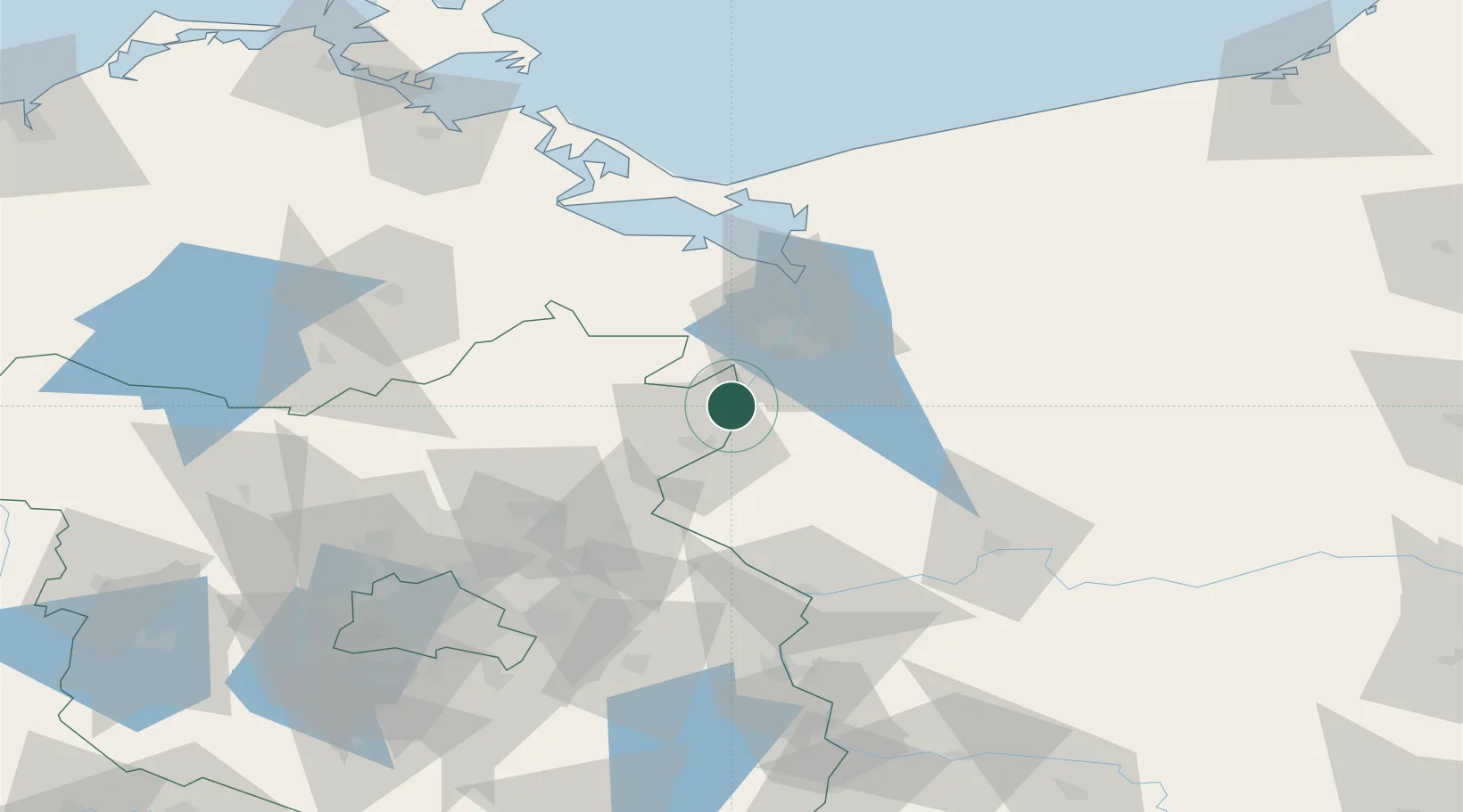
Hub Profile
Place type
Populated place
Region
Brandenburg
Population
2,524
Time zone
Europe/Berlin
Elevation
11 m
Location
Nearby Logistics Neighbours
Ports
- 1Szczecin27 km
- 2Police43 km
- 3Swinoujscie80 km
- 4Wolgast103 km
- 5Kolobrzeg137 km
Airports
Trade Zones
- 1Szczecin Duty Free Zone28 km
- 2Kostrzyń-Słubice SEZ69 km
- 3Swinoujscie Duty Free Zone78 km
- 4Słupsk SEZ (Słupska SSE)223 km
- 5Legnica SEZ (Legnicka SSE)238 km
DatabookThe Record of Consolidated Knowledge
Germany beyond logistics?