Transport Functions
Port
Road
Hub Profile
Place type
Local administrative seat
Region
Brandenburg
Population
791
Time zone
Europe/Berlin
Elevation
14 m
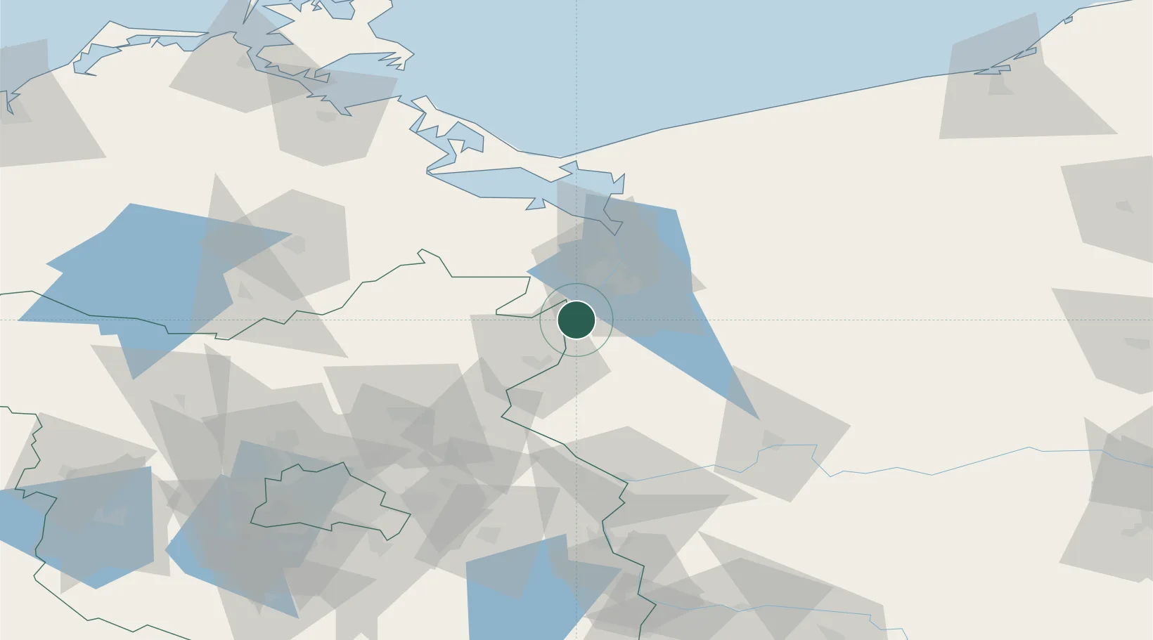
Location
Nearby Logistics Neighbours
Ports
- 1Szczecin20 km
- 2Police36 km
- 3Swinoujscie75 km
- 4Wolgast99 km
- 5Kolobrzeg130 km
Airports
Trade Zones
- 1Szczecin Duty Free Zone21 km
- 2Swinoujscie Duty Free Zone73 km
- 3Kostrzyń-Słubice SEZ74 km
- 4Słupsk SEZ (Słupska SSE)217 km
- 5Legnica SEZ (Legnicka SSE)242 km
DatabookThe Record of Consolidated Knowledge
Germany beyond logistics?