UN/LOCODE hub · Germany
DETAN

Tantow

53.2667°, 14.3333°
793
Population
2
Transport functions

Transport Functions

Rail
Road
UN/LOCODE

Hub Profile

Place type
Local administrative seat
GeoNames
Region
Brandenburg
GeoNames
Population
793
GeoNames
Time zone
Europe/Berlin
GeoNames
Elevation
22 m
GeoNames

Location

Location of DETAN
Natural Earth 10m (public domain) · Brandenburg · DETAN · 53.27, 14.33GoogleOSMYandex

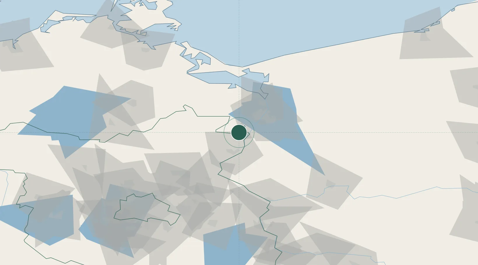
Nearby Logistics Neighbours

Cities
  1. 1Mescherin7 km
  2. 2Gartz8 km
  3. 3Gryfino11 km
  4. 4Grambow17 km
  5. 5Gardno20 km
Nearest neighbours — logibook spatial index (haversine) over the source coordinates
Ports
  1. 1Szczecin22 km
  2. 2Police37 km
  3. 3Swinoujscie72 km
  4. 4Wolgast94 km
  5. 5Kolobrzeg133 km
Nearest neighbours — logibook spatial index (haversine) over the source coordinates
Airports
  1. 1Solidarity Szczecin–Goleniów Airport52 km
  2. 2Heringsdorf Airport69 km
  3. 3Neubrandenburg Trollenhagen Airport78 km
  4. 4Swidwin Military Air Base115 km
  5. 5Berlin Brandenburg Airport115 km
Nearest neighbours — logibook spatial index (haversine) over the source coordinates
Trade Zones
  1. 1Szczecin Duty Free Zone23 km
  2. 2Swinoujscie Duty Free Zone70 km
  3. 3Kostrzyń-Słubice SEZ77 km
  4. 4Słupsk SEZ (Słupska SSE)221 km
  5. 5Legnica SEZ (Legnicka SSE)246 km
Nearest neighbours — logibook spatial index (haversine) over the source coordinates
DatabookThe Record of Consolidated Knowledge
Germany beyond logistics?
Browse databook

All Sources

LocationsUN/LOCODE
UN/LOCODE — free
LocationsGeoNames
CC BY 4.0
Portsthe NGA World Port Index
Public domain (US gov)
AirportsOurAirports
Public domain
Trade Zonesthe World Bank SEZ database
CC BY 4.0
Trade ZonesOpen Zone Map
CC BY
← Germany locations