Transport Functions
Rail
Road
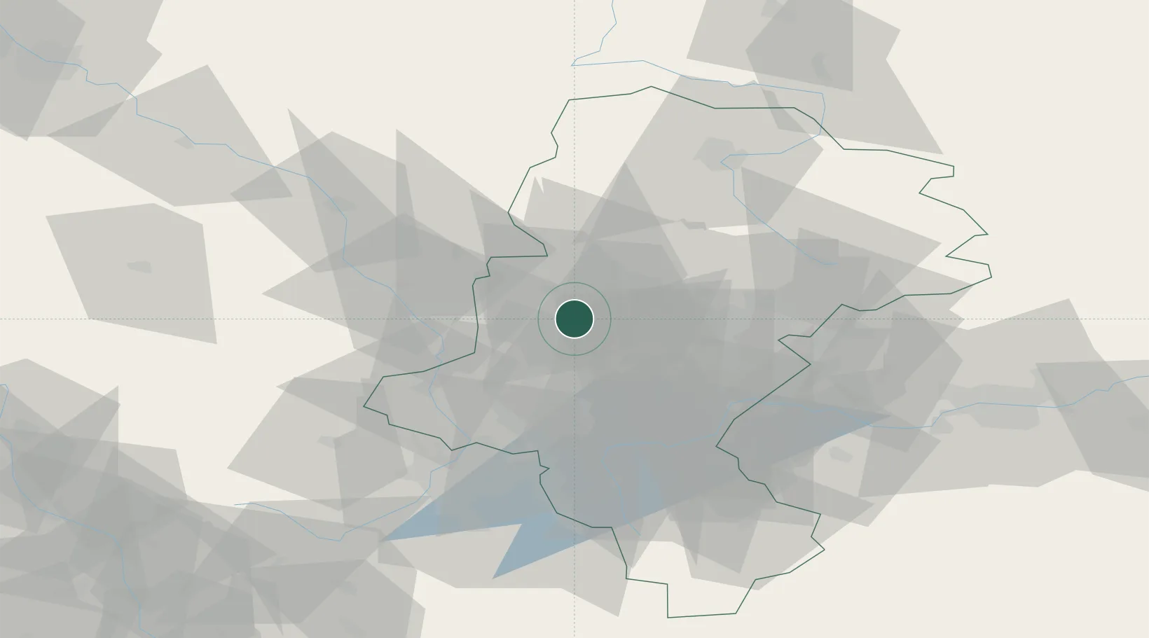
Hub Profile
Place type
District seat
Region
Silesia
Population
198,835
Time zone
Europe/Warsaw
Elevation
200 m
Logistics facilities
3
Location
Nearby Logistics Neighbours
Cities
- 1Zbroslawice10 km
- 2Czerwionka17 km
- 3Swietochlowice18 km
- 4Radzionków21 km
- 5Kamionka22 km
Airports
DatabookThe Record of Consolidated Knowledge
Poland beyond logistics?