UN/LOCODE hub · Poland
PLZWA

Zawonia

51.3167°, 20.8000°
138
Population
1
Transport functions

Transport Functions

Multimodal
UN/LOCODE

Hub Profile

Place type
Populated place
GeoNames
Region
Mazovia
GeoNames
Population
138
GeoNames
Time zone
Europe/Warsaw
GeoNames
Elevation
180 m
GeoNames

Location

Location of PLZWA
Natural Earth 10m (public domain) · Mazovia · PLZWA · 51.32, 20.80GoogleOSMYandex

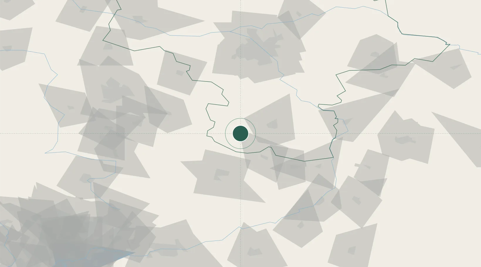
Nearby Logistics Neighbours

Cities
  1. 1Kowala Stepocina20 km
  2. 2Skarzysko-Kamienna25 km
  3. 3Bialaczów35 km
  4. 4Dabrówka35 km
  5. 5Skaryszew36 km
Nearest neighbours — logibook spatial index (haversine) over the source coordinates
Ports
  1. 1Gdansk366 km
  2. 2Nowy Port373 km
  3. 3Baltiysk374 km
  4. 4Kaliningrad377 km
  5. 5Gdynia388 km
Nearest neighbours — logibook spatial index (haversine) over the source coordinates
Airports
  1. 1Warsaw Radom Airport30 km
  2. 2Tomaszów Mazowiecki Military Air Base57 km
  3. 3Deblin Military Air Base80 km
  4. 4Warsaw Chopin Airport95 km
  5. 5Łódź Władysław Reymont Airport107 km
Nearest neighbours — logibook spatial index (haversine) over the source coordinates
Trade Zones
  1. 1Starachowice SEZ (SSE Starachowice)36 km
  2. 2East-West Duty Free Zone76 km
  3. 3Warsaw Airport Duty Free Zone95 km
  4. 4Tarnobrzeg SEZ Euro-Park Wisłosan (Tarnobrzeska SSE)97 km
  5. 5Łódź SEZ (ōódzka SSE)104 km
Nearest neighbours — logibook spatial index (haversine) over the source coordinates
DatabookThe Record of Consolidated Knowledge
Poland beyond logistics?
Browse databook

All Sources

LocationsUN/LOCODE
UN/LOCODE — free
LocationsGeoNames
CC BY 4.0
Portsthe NGA World Port Index
Public domain (US gov)
AirportsOurAirports
Public domain
Trade Zonesthe World Bank SEZ database
CC BY 4.0
Trade ZonesOpen Zone Map
CC BY
← Poland locations