Transport Functions
Rail
Road
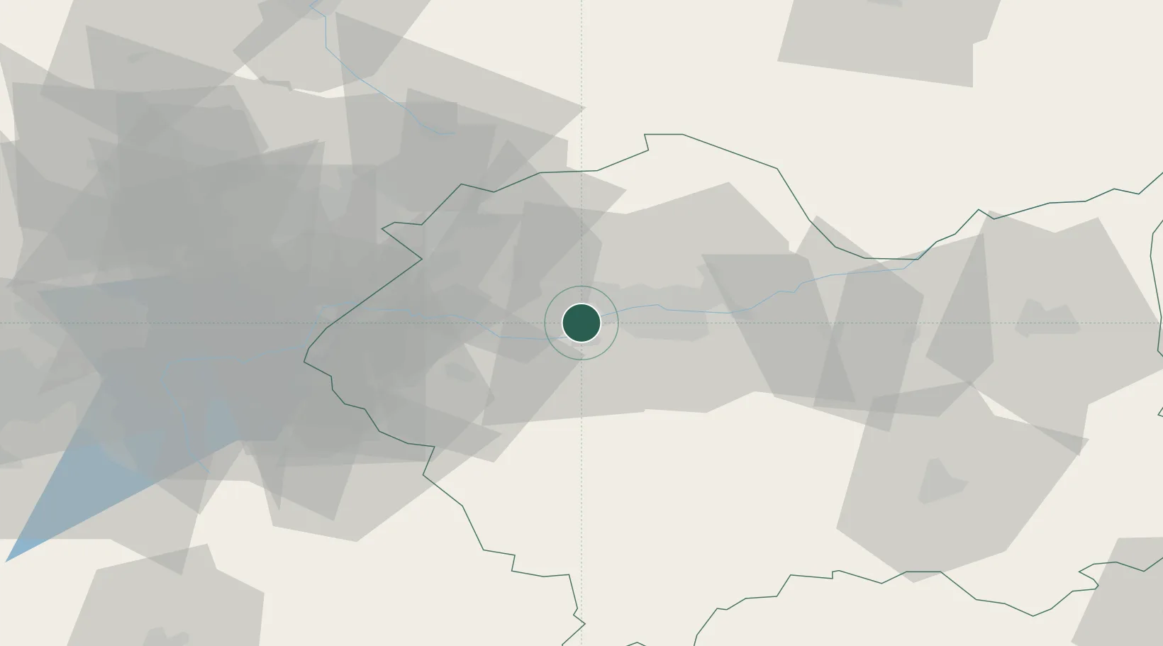
Hub Profile
Place type
Populated place
Region
Lesser Poland
Population
1,200
Time zone
Europe/Warsaw
Elevation
206 m
Location
Nearby Logistics Neighbours
Cities
- 1Borek Szlachecki6 km
- 2Szczyglice9 km
- 3Zabierzow11 km
- 4Krzeszowice18 km
- 5Kalwaria Zebrzydowska19 km
Ports
- 1Gdansk488 km
- 2Nowy Port495 km
- 3Gdynia509 km
- 4Baltiysk513 km
- 5Kaliningrad523 km
Airports
Trade Zones
DatabookThe Record of Consolidated Knowledge
Poland beyond logistics?