Transport Functions
Road
Multimodal
Hub Profile
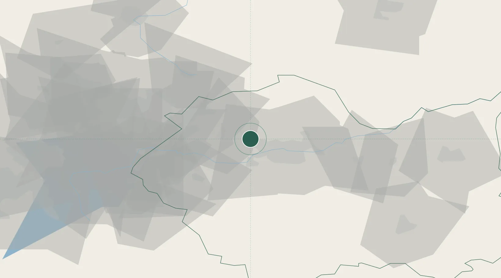
Place type
Populated place
Region
Lesser Poland
Population
4,689
Time zone
Europe/Warsaw
Elevation
246 m
Location
Nearby Logistics Neighbours
Cities
- 1Szczyglice2 km
- 2Piekary11 km
- 3Krzeszowice12 km
- 4Borek Szlachecki17 km
- 5Oklesna21 km
Ports
- 1Gdansk477 km
- 2Nowy Port484 km
- 3Gdynia498 km
- 4Baltiysk502 km
- 5Kaliningrad512 km
Airports
Trade Zones
DatabookThe Record of Consolidated Knowledge
Poland beyond logistics?