Transport Functions
Rail
Road
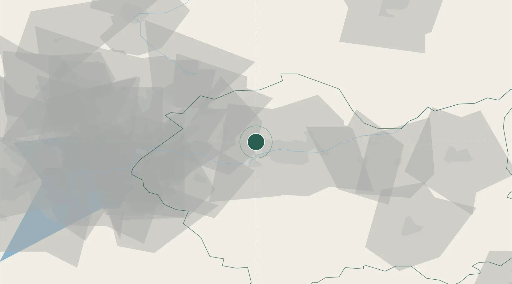
Hub Profile
Place type
Populated place
Region
Lesser Poland
Population
590
Time zone
Europe/Warsaw
Elevation
216 m
Location
Nearby Logistics Neighbours
Cities
- 1Zabierzow2 km
- 2Piekary9 km
- 3Krzeszowice14 km
- 4Borek Szlachecki15 km
- 5Oklesna22 km
Ports
- 1Gdansk479 km
- 2Nowy Port486 km
- 3Gdynia500 km
- 4Baltiysk504 km
- 5Kaliningrad514 km
Airports
Trade Zones
DatabookThe Record of Consolidated Knowledge
Poland beyond logistics?