Transport Functions
Port
Hub Profile
Place type
District seat
Region
Eastern Visayas
Population
11,041
Time zone
Asia/Manila
Elevation
5 m
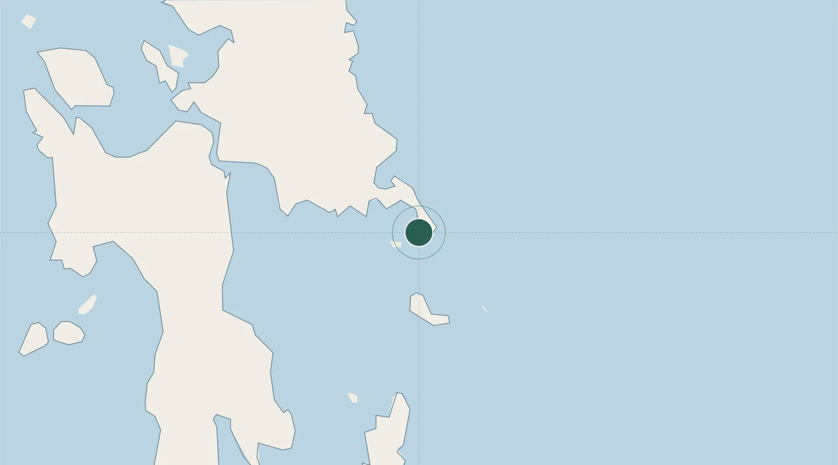
Location
Nearby Logistics Neighbours
Ports
- 1Port Borongan70 km
- 2Tanauan77 km
- 3Tacloban82 km
- 4Baybay107 km
- 5Ormoc122 km
Airports
- 1Daniel Z. Romualdez Airport78 km
- 2Ormoc Airport126 km
- 3Siargao Airport135 km
- 4Surigao Airport144 km
- 5Calbayog Airport172 km
DatabookThe Record of Consolidated Knowledge
Philippines beyond logistics?