Transport Functions
Port
Hub Profile
Place type
District seat
Region
Eastern Visayas
Population
4,968
Time zone
Asia/Manila
Elevation
0 m
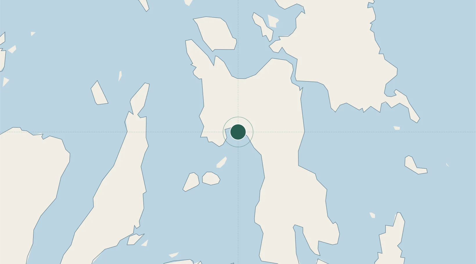
Location
Nearby Logistics Neighbours
Cities
- 1Capoocan37 km
- 2Carigara38 km
- 3Leyte47 km
- 4Calubian, Leyte57 km
- 5Hilongos68 km
Airports
- 1Ormoc Airport13 km
- 2Daniel Z. Romualdez Airport52 km
- 3Mactan Cebu International Airport102 km
- 4Calbayog Airport123 km
- 5Surigao Airport164 km
DatabookThe Record of Consolidated Knowledge
Philippines beyond logistics?