Specialized Zone · Philippines
Guimaras Growth Center Under Development
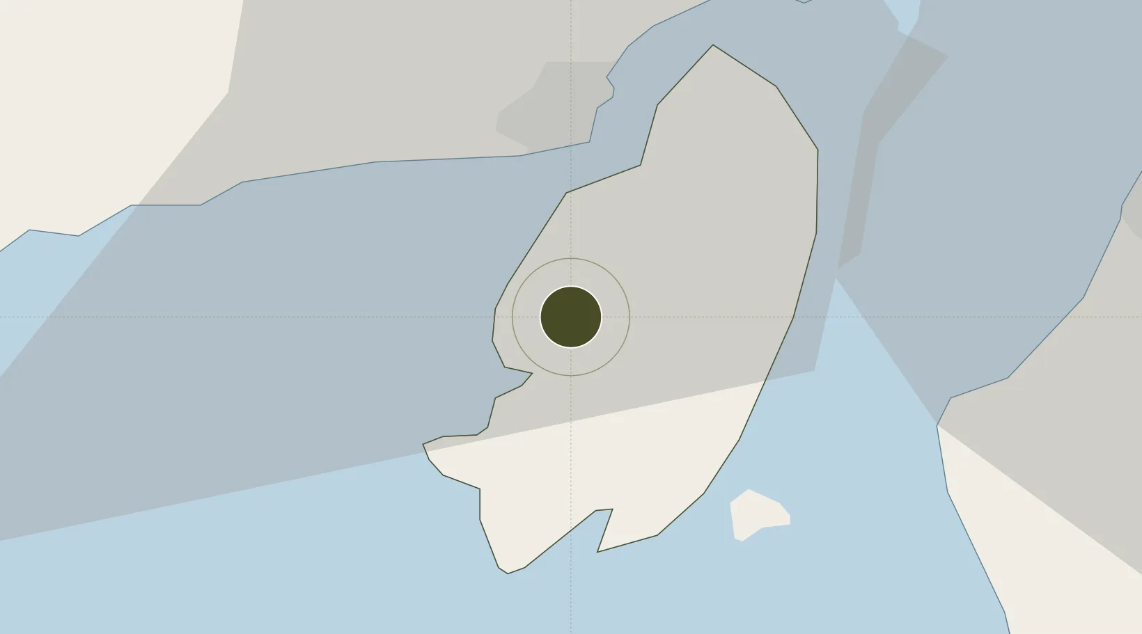
10.5855°, 122.5780°
216 ha
Zone area
12.7 km
Nearest port
29.0 km
Nearest airport
Gateway access
Zone profile
Zone type
Specialized Zone
Specialization
Agriculture
Region
Guimaras
Status
Under Development
Management
Public
Operator
Guimaras S E Z Development Corp.
Legal framework
Special Economic Zone Act (Republic Act No. 7916) (as amended by Republic Act No. 8748)
Location
Nearby Logistics Neighbours
Ports
- 1Iloilo13 km
- 2Pulupandan25 km
- 3San Carlos92 km
- 4Port Capiz114 km
- 5Toledo118 km
Airports
- 1Iloilo International Airport29 km
- 2Bacolod-Silay International Airport53 km
- 3Evelio Javier Airport73 km
- 4Roxas Airport114 km
- 5Kalibo International Airport124 km
Cities
- 1Iloilo, Panay13 km
- 2Bacolod, Negros41 km
- 3La Carlota42 km
- 4Himamaylan, Negros64 km
- 5Hamtic68 km
Trade Zones
- 1Robinsons Place Iloilo12 km
- 2Iloilo Commercial Development Corp. Building12 km
- 3Amigo Mall13 km
- 4GST Iloilo Corporate Center13 km
- 5Iloilo Technohub14 km
DatabookThe Record of Consolidated Knowledge
Philippines beyond logistics?