ECOzone · Philippines

Light Industry & Science Park I Active
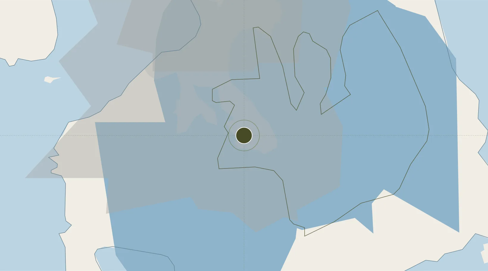
14.2341°, 121.1005°
71 ha
Zone area
41.4 km
Nearest port
31.7 km
Nearest airport

Gateway access

Nearest neighbours — logibook spatial index (haversine) over the source coordinates

Zone profile

Zone type
ECOzone
the World Bank SEZ database
Region
Laguna
the World Bank SEZ database
Status
Active
the World Bank SEZ database
Established
1992
the World Bank SEZ database
Management
Private management
the World Bank SEZ database
Operator
LISP-I Locators’ Association, Inc.
the World Bank SEZ database
Regulatory authority
Philippines Economic Zone Authority
the World Bank SEZ database
Legal framework
Special Economic Zone Act
the World Bank SEZ database

Location

Location of PHL19
Natural Earth 10m (public domain) · Laguna · PHL19 · 14.23, 121.10GoogleOSMYandex

Fiscal & incentives

Corporate tax
30%
the World Bank SEZ database
Tax relief
100% exempt
the World Bank SEZ database
Relief duration
4-8 years
the World Bank SEZ database
VAT
100% exempt from VAT on utility charges
the World Bank SEZ database
Import duty (inputs)
100% exempt
the World Bank SEZ database
Import duty (capex)
100% exempt
the World Bank SEZ database
Profit repatriation
No exemption
the World Bank SEZ database
Capital gains
No exemption
the World Bank SEZ database
Withholding tax
100% exempt from withholding tax
the World Bank SEZ database
Min. investment
None
the World Bank SEZ database
Min. export
70% for manufacturing and IT industries
the World Bank SEZ database
Employment incentive
No exemption
the World Bank SEZ database
Developer incentive
Yes
the World Bank SEZ database

Nearby Logistics Neighbours

Ports
  1. 1Manila41 km
  2. 2Batangas City54 km
  3. 3Nasugbu55 km
  4. 4Mariveles70 km
  5. 5Calapan91 km
Nearest neighbours — logibook spatial index (haversine) over the source coordinates
Airports
  1. 1Ninoy Aquino International Airport32 km
  2. 2Danilo Atienza Air Base36 km
  3. 3Subic Bay International Airport / Naval Air Station Cubi Point109 km
  4. 4Lubang Airport115 km
  5. 5Clark International Airport / Clark Air Base121 km
Nearest neighbours — logibook spatial index (haversine) over the source coordinates
Cities
  1. 1Canlubang2 km
  2. 2Camarines Norte/Jose Panganiban5 km
  3. 3Biñan11 km
  4. 4Tanauan19 km
  5. 5Cavite, Luzon33 km
Nearest neighbours — logibook spatial index (haversine) over the source coordinates
Trade Zones
  1. 1Carmelray Industrial Park 3 km
  2. 2Calabarzon Regional Government Center3 km
  3. 3Carmelray International Business Park 4 km
  4. 4NYK-TDG I.T. Park4 km
  5. 5Ascendas Business Park@Sta. Elena4 km
Nearest neighbours — logibook spatial index (haversine) over the source coordinates
DatabookThe Record of Consolidated Knowledge
Philippines beyond logistics?
Browse databook

All Sources

Trade Zonesthe World Bank SEZ database
CC BY 4.0
Portsthe NGA World Port Index
Public domain (US gov)
AirportsOurAirports
Public domain
LocationsUN/LOCODE
UN/LOCODE — free
← Philippines trade zones