Transport Functions
Port
Road
Hub Profile
Place type
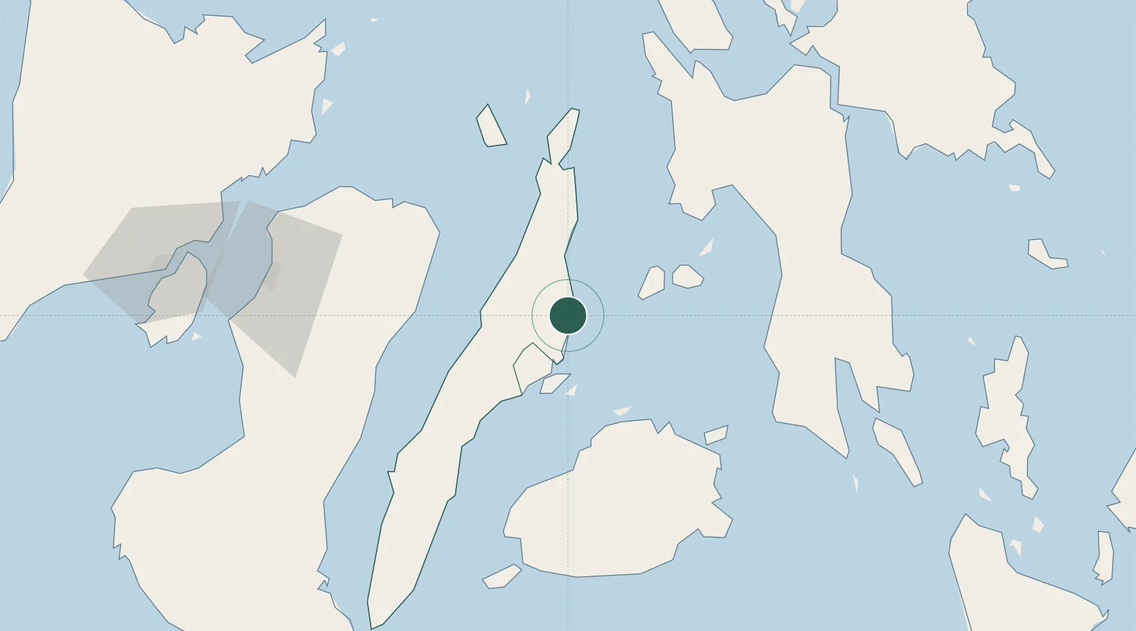
Populated place
Region
Central Visayas
Population
70,270
Time zone
Asia/Manila
Elevation
7 m
Location
Nearby Logistics Neighbours
Cities
- 1Lapu-Lapu, Cebu26 km
- 2Mandaue, Cebu26 km
- 3Mactan Island Apt26 km
- 4Cebu29 km
- 5Laguna31 km
Ports
- 1Cebu30 km
- 2Toledo48 km
- 3Isabel61 km
- 4Tubigan65 km
- 5San Carlos68 km
Airports
Trade Zones
- 1MRI Ecozone5 km
- 2Carmen Cebu Gum Industrial Zone7 km
- 3SM City Consolacion IT Center19 km
- 4A. D. Gothong IT Center22 km
- 5Maayo Medical23 km
DatabookThe Record of Consolidated Knowledge
Philippines beyond logistics?