Diversified Zone · Philippines

Kananga Special Economic Zone Under Development
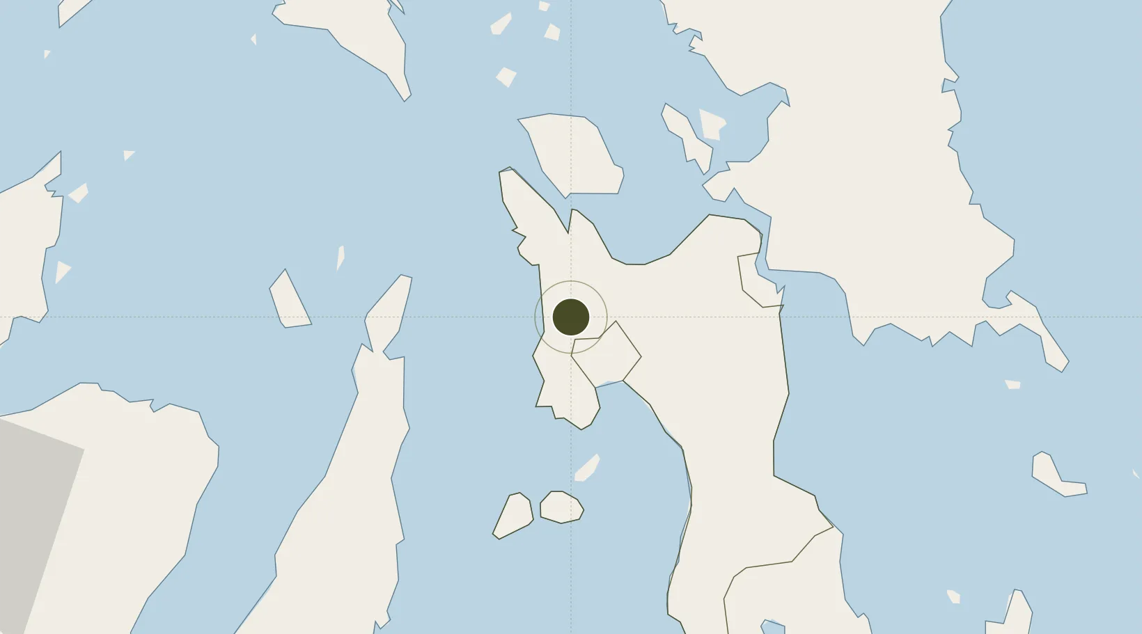
11.1667°, 124.4876°
30 ha
Zone area
17.3 km
Nearest port
14.8 km
Nearest airport

Gateway access

Nearest neighbours — logibook spatial index (haversine) over the source coordinates

Zone profile

Zone type
Diversified Zone
Open Zone Map
Region
Leyte
Open Zone Map
Status
Under Development
Open Zone Map
Management
Public
Open Zone Map
Operator
Municipal Government of Kananga, Leyte
Open Zone Map
Legal framework
Special Economic Zone Act (Republic Act No. 7916) (as amended by Republic Act No. 8748)
Open Zone Map

Location

Location of ozm-3123
Natural Earth 10m (public domain) · Leyte · ozm-3123 · 11.17, 124.49GoogleOSMYandex

Nearby Logistics Neighbours

Ports
  1. 1Palompon17 km
  2. 2Ormoc22 km
  3. 3Isabel28 km
  4. 4Tacloban57 km
  5. 5Tanauan58 km
Nearest neighbours — logibook spatial index (haversine) over the source coordinates
Airports
  1. 1Ormoc Airport15 km
  2. 2Daniel Z. Romualdez Airport59 km
  3. 3Calbayog Airport101 km
  4. 4Mactan Cebu International Airport110 km
  5. 5Catarman National Airport149 km
Nearest neighbours — logibook spatial index (haversine) over the source coordinates
Cities
  1. 1Leyte22 km
  2. 2Capoocan23 km
  3. 3Carigara26 km
  4. 4Albuera27 km
  5. 5Calubian, Leyte31 km
Nearest neighbours — logibook spatial index (haversine) over the source coordinates
Trade Zones
  1. 1Leyte Industrial Development Estate30 km
  2. 2Eastern Visayas Regional Growth Center50 km
  3. 3New Jubilee Agro-Industrial Economic Zone50 km
  4. 4Leyte Mikyu Economic Zone56 km
  5. 5Leyte Information Communication Technology Park56 km
Nearest neighbours — logibook spatial index (haversine) over the source coordinates
DatabookThe Record of Consolidated Knowledge
Philippines beyond logistics?
Browse databook

All Sources

Trade ZonesOpen Zone Map
CC BY
Portsthe NGA World Port Index
Public domain (US gov)
AirportsOurAirports
Public domain
LocationsUN/LOCODE
UN/LOCODE — free
← Philippines trade zones