UN/LOCODE hub · Norway
NOTOM

Tomrefjord

62.5833°, 6.9167°
2
Transport functions

Transport Functions

Port
Road
UN/LOCODE

Hub Profile

Region
15
GeoNames

Location

Location of NOTOM
Natural Earth 10m (public domain) · 15 · NOTOM · 62.58, 6.92GoogleOSMYandex

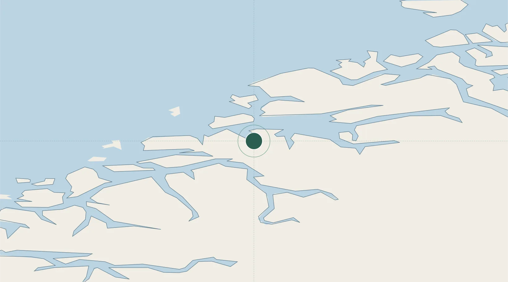
Nearby Logistics Neighbours

Cities
  1. 1Vestnes10 km
  2. 2Skorgeneset10 km
  3. 3Sjøholt14 km
  4. 4Håeimsvika16 km
  5. 5Midsund16 km
Nearest neighbours — logibook spatial index (haversine) over the source coordinates
Ports
  1. 1Molde21 km
  2. 2Haroysund34 km
  3. 3Andalsnes39 km
  4. 4Alesund41 km
  5. 5Hareid51 km
Nearest neighbours — logibook spatial index (haversine) over the source coordinates
Airports
  1. 1Molde Airport, Årø25 km
  2. 2Ålesund Airport41 km
  3. 3Ørsta-Volda Airport, Hovden62 km
  4. 4Kristiansund Airport, Kvernberget75 km
  5. 5Sandane Airport, Anda94 km
Nearest neighbours — logibook spatial index (haversine) over the source coordinates
Trade Zones
  1. 1Gothenburg Boundless Customs Warehouse606 km
  2. 2Jönköping Free Zone666 km
  3. 3Freeport of Copenhagen- Nordhavn829 km
  4. 4MTS Malmö Transport and Spedition851 km
  5. 5Freeport of Kiel936 km
Nearest neighbours — logibook spatial index (haversine) over the source coordinates
DatabookThe Record of Consolidated Knowledge
Norway beyond logistics?
Browse databook

All Sources

LocationsUN/LOCODE
UN/LOCODE — free
Portsthe NGA World Port Index
Public domain (US gov)
AirportsOurAirports
Public domain
Trade Zonesthe World Bank SEZ database
CC BY 4.0
Trade ZonesOpen Zone Map
CC BY
← Norway locations